0 Results for ""


Trusted by operators, non-op buyers, mineral aggregators, and A&D advisors across the upstream market.






The Problem
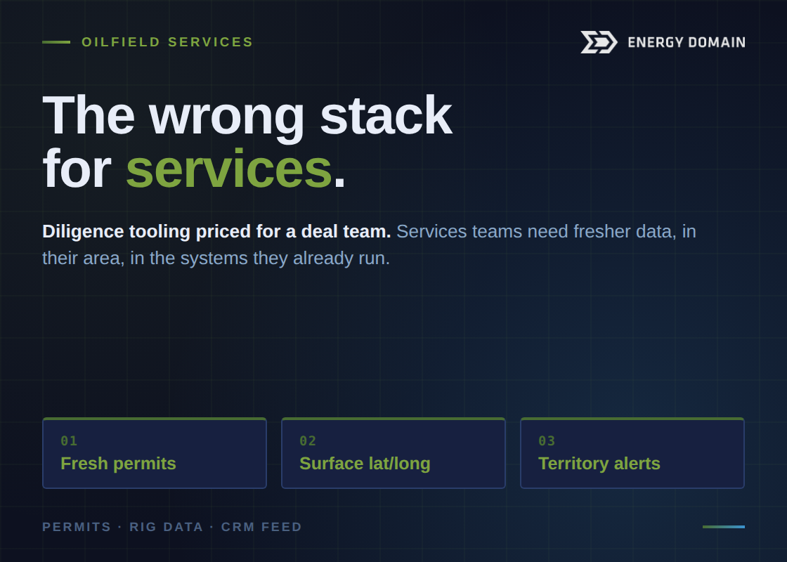
In oilfield services, your revenue follows the rigs. Knowing where operators are drilling, completing, and producing — and where they’re planning to drill next — is the difference between a full order book and chasing work. But most OFS companies are relying on outdated rig count reports, inconsistent industry rumors, or expensive enterprise data subscriptions designed for operators, not service companies.
You don’t need nationwide reservoir engineering tools. You need to know: Which operators are active in my service area? Where are rigs moving? What wells are being permitted, drilled, or completed? And how do I get in front of the decision-makers before my competitors do?
How Energy Domain Helps Oilfield Services Companies
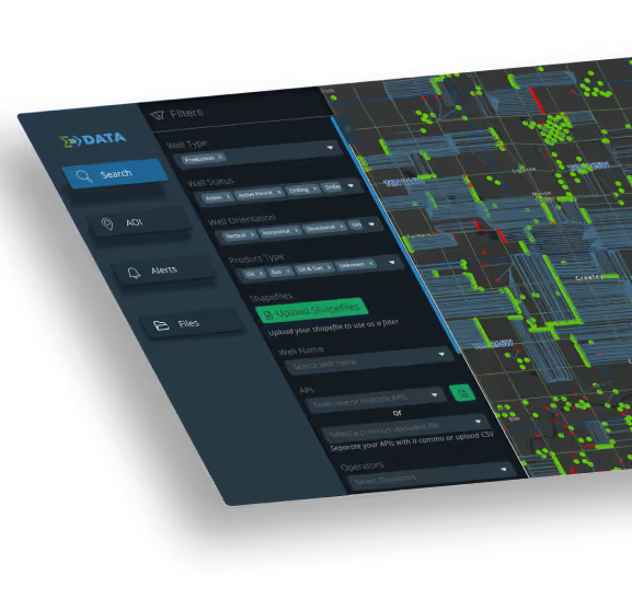
Data — Evaluate & Monitor
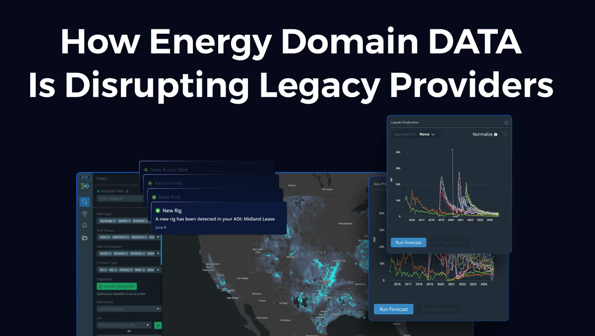
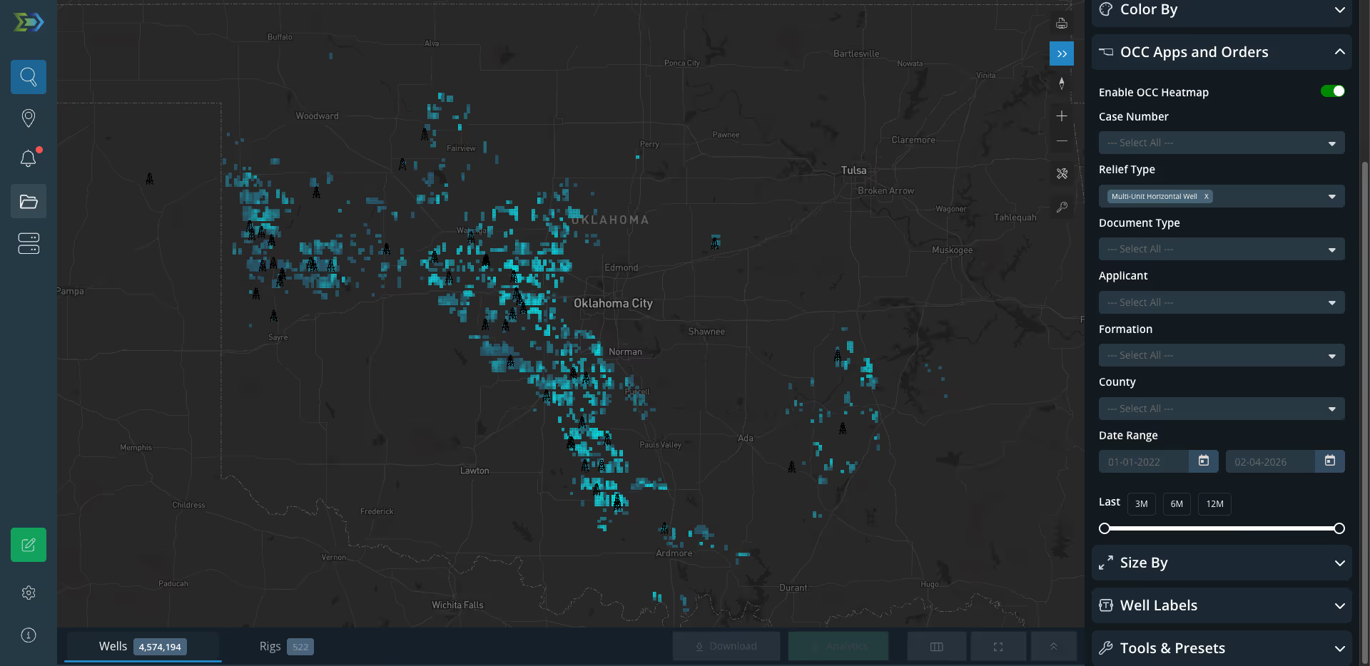
- Current Rig Locations — Daily-updated rig positions sourced from state reports, drilling contractor data, and satellite imagery. See exactly where rigs are running, which operators own them, and what wells they’re drilling
- Permit & Well Activity Tracking — Monitor new permits, spud dates, completion activity, and well status changes to anticipate where the next work will be
- Operator Intelligence — Identify which operators are active in your target counties, how many wells they’re running, and what formations they’re targeting
- Geospatial Activity Alerts — Define your service territory as an area of interest and get automatic notifications when new permits are filed, rigs move in, or wells reach completion stage
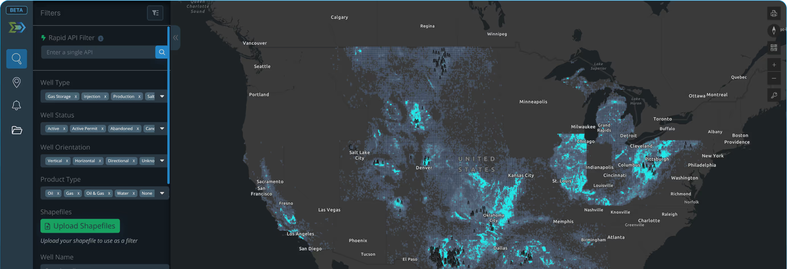
- Affordable Geographic Access — Subscribe to just the basins or counties in your service area. No need to pay for nationwide data when your crews work a defined geography
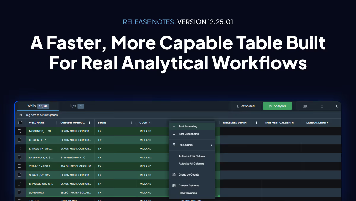
- Data Export — Export well lists, operator contact information, and activity data for use in your CRM, sales reports, and bid preparation
How Teams Use Energy Domain
- Sales Prospecting: Pull a list of operators with active permits in your target counties, export the data, and build a targeted outreach list for your sales team
- Rig Tracking: Monitor daily rig location updates to know when rigs move into your service territory and which operator is running them
- Completion Timing: Track well status changes from drilling to completing to producing so your completions crews, frac sand delivery, or wireline team can plan capacity
- Bid Preparation: Use well data, lateral lengths, and formation targets to prepare more accurate service bids tailored to the specific wells an operator is planning

Why Energy Domain?

Legacy providers charge enterprise-level prices designed for the largest operators. Energy Domain delivers the same high-quality upstream data at a fraction of the cost, with flexible county, basin, and nationwide subscriptions, transparent pricing, and no long-term contracts. Subscribe to exactly the geography you underwrite.
Beyond core state-reported production and permits, Energy Domain builds proprietary derived datasets: volume-conserved production allocations, Confirmed Interval landing zone identification, daily rig locations sourced directly from drilling contractors, and Texas mineral appraisal data. The data you actually need to underwrite a deal, not just the data the state happens to publish.
Founded by landmen and oil and gas professionals who spent years working with legacy platforms. Every dataset, every field, every delivery method is informed by real upstream workflows, from PDP underwriting to runsheet construction to rig tracking. We ship improvements in weeks, not quarters.
99.97% lifetime uptime. DataStream Direct JDBC access for piping data straight into your warehouse. Snowflake connectivity. Self-serve subscription management. Live product roadmap. Energy Domain is built for the way engineering and acquisition teams actually consume data.

.png)














© 2026 Energy Domain · Fort Worth, TX