This release covers the map, the analytics workflow, export tools, search filters, and a handful of quality-of-life fixes that add up to a meaningfully better experience across the board.
The Map Is Faster. A Lot Faster.
We rebuilt the map from the ground up using vector tiling. Load and interaction times are roughly 6x faster across PC and Mac, in every major browser. If panning across a basin or drilling into a tight spacing unit felt slow before, it won't anymore.
A couple of smaller map improvements shipped alongside this. Hovering over a well location now shows a quick tooltip with the Well Name, and hovering over a Rig tells you which well it's currently on. No clicking required. And clicking a rig no longer snaps you into a close zoom. You get the rig popup at your current zoom level, so you keep your bearings on the map.
Analytics: Forecast Across All Three Streams at Once
The old analytics workflow made you toggle between oil, gas, and water one stream at a time. That's gone. You can now forecast and build type curves across all three streams simultaneously. Save your forecasts and type curves when you're done and come back to them later without starting over.
If you're building type curves for an A&D target, stress-testing a PDP forecast, or working up economics on a drilling program, this is a significant upgrade. The time savings alone will be noticeable within the first session.
.png)
.png)
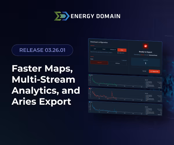
Aries Export Is Live
You can now export a CSV that imports directly into Aries with no reformatting required. Column headers, data structure, and formatting all conform natively to the Aries import spec. Pull your wells, export, and move straight into your economics run.
.png)
Download Settings Page Redesigned
The Download Settings page has been rebuilt from scratch. Less clicking, clearer options, and a cleaner layout for configuring your exports. If you found the old page clunky, the new one is a noticeable improvement.
.png)
New Search Filters: Last Prod Date and Lease ID
We added Last Prod Date and Lease ID to the search filters, giving you two more ways to tighten your well set. First Prod Date and Last Prod Date are also now displayed directly on the well card, so production timing is visible without digging into a secondary view.
Well List Uploader Now Supports 10,000 Records
The upload limit has been raised from 1,000 to 10,000 records. Whether you're running a large acquisition screen or managing a broad portfolio review, you can now upload your full list in one shot without breaking it into batches.
Drawing Tool Measurements Updated
The drawing tool now displays in feet up to 1 mile before rounding kicks in. Previously it was rounding after 1,000 feet, which was too aggressive for most lease boundary and spacing offset work.
Oklahoma Regulatory: Pooling and Drilling and Spacing Now in OCC
Pooling and Drilling and Spacing Applications and Orders are now available in the OCC App and Orders feature. If you're tracking Oklahoma regulatory activity, you now have pooling and spacing orders right alongside the multi-unit horizontal relief types.
Virginia Data Refreshes Daily
Virginia data pipelines are now on a daily schedule. You'll have current data without having to wonder when the last update ran.
Questions or feedback, reach out to the team. More coming soon.