0 Results for ""

Trusted by operators, non-op buyers, mineral aggregators, and A&D advisors across the upstream market.






The Haynesville Basin: Overview
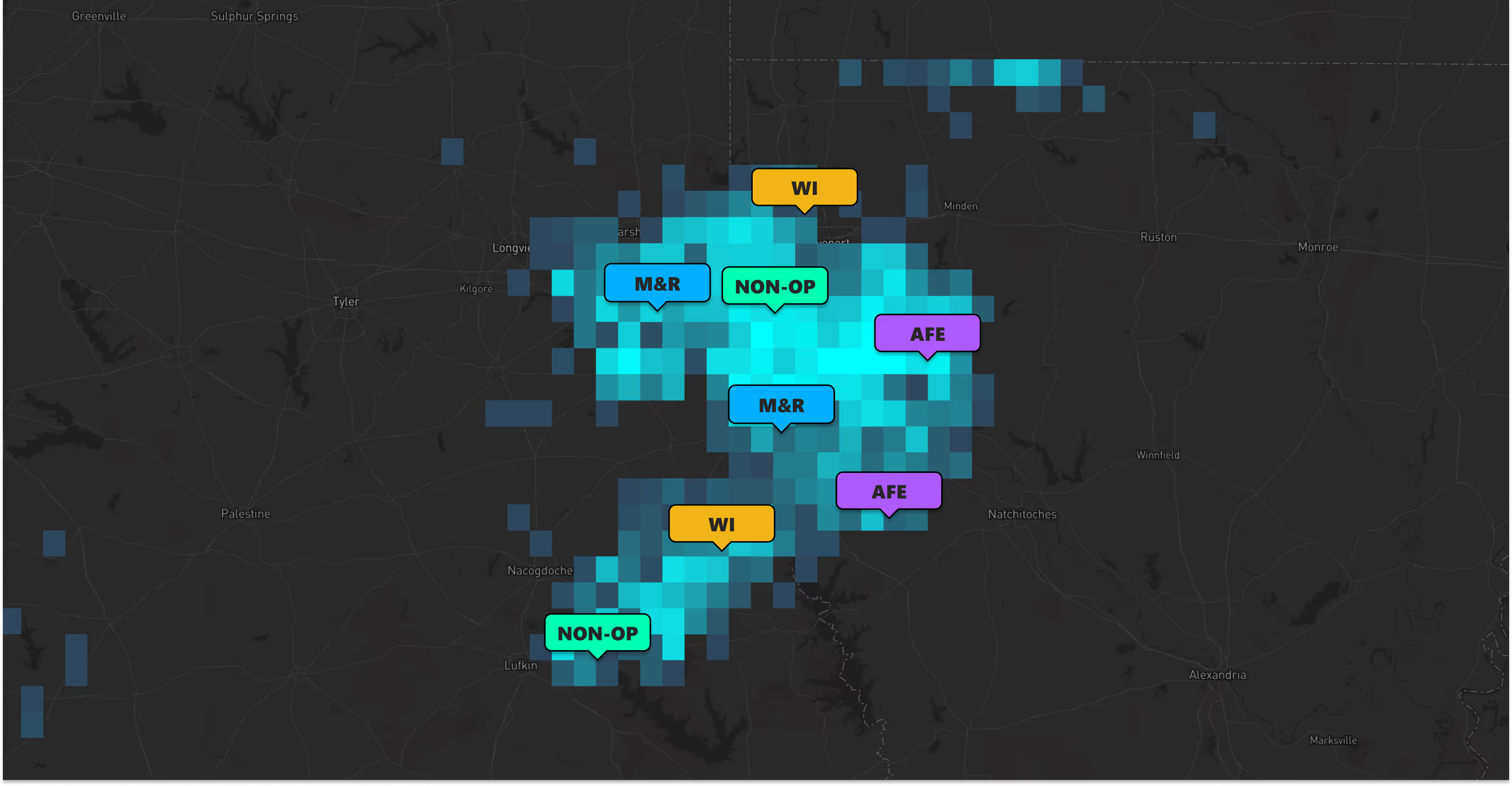
The Haynesville Shale is one of the largest natural gas producing regions in the United States, stretching across northwest Louisiana, northeast Texas, and southwest Arkansas. Named after the town of Haynesville, Louisiana, this formation sits at depths of 10,500 to 13,500 feet and produces predominantly dry natural gas, making it a critical supply source for Gulf Coast LNG export facilities and domestic power generation.
First developed in 2008, the Haynesville experienced a rapid early boom before operators shifted capital to oil-weighted plays during the 2010s price environment. The basin has seen a significant resurgence driven by growing LNG export demand, data center power needs, and improved drilling economics through longer laterals and enhanced completions. Today, the Haynesville rivals the Marcellus as one of the nation’s top gas-producing plays.
Whether you’re a gas-focused operator expanding your Haynesville footprint, a mineral owner in Caddo or DeSoto Parish, or an investor targeting natural gas assets tied to LNG fundamentals, Energy Domain provides the data and marketplace access you need.
Haynesville Basin at a Glance
- Location: Northwest Louisiana, northeast Texas, southwest Arkansas
- Depth: 10,500–13,500 feet
- Production type: Predominantly dry natural gas
- Key counties/parishes: Caddo, DeSoto, Red River, Bossier (LA); Panola, Harrison, Shelby (TX)
- Top operators: Chesapeake Energy, Southwestern Energy, Aethon Energy, Comstock Resources, Rockcliff Energy
- Strategic importance: Proximity to Gulf Coast LNG export terminals and industrial demand centers

Haynesville Basin Data — Evaluate & Monitor
Energy Domain Data delivers comprehensive, continuously updated oil and gas intelligence for the Haynesville Basin — built for operators, landmen, mineral owners, and financial analysts who need accurate data without paying enterprise prices.

Subscribe to Just What You Need
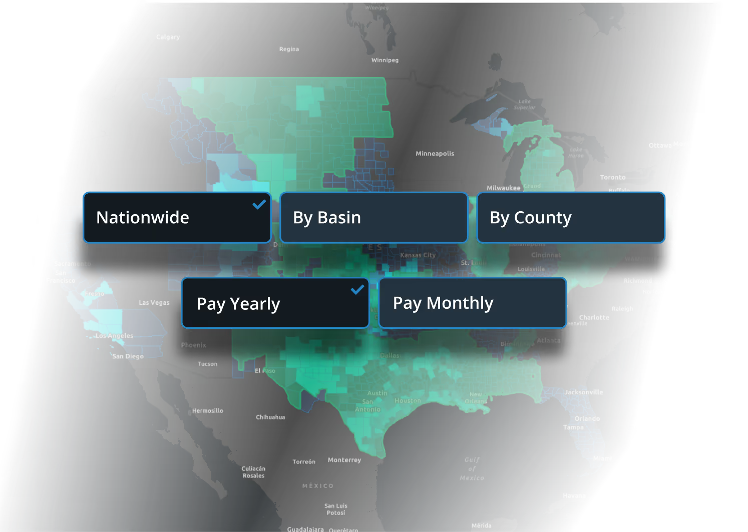
Unlike legacy providers that lock you into nationwide contracts, Energy Domain lets you subscribe to the Haynesville Basin by county or basin — with monthly or annual options and no long-term commitment. Manage your subscription, add or remove geographies, and control seat allocations directly in the platform. No sales calls required.
Comprehensive Haynesville Basin Data
Core Data
- Well Header Data — API, operator, lease name, location, target formation, status, permit information, and more
- Production Data — Monthly and annual oil, gas, and water volumes as reported by the states
- Current Rig Locations — Updated daily using state reports, contractor reports, and satellite imagery
- Directional Surveys — Raw deviation data including MD, inclination, and azimuth for horizontal wells
- Well Test Data — Updated Texas and Louisiana well tests that drive the allocation process
- FracFocus Integration — Full completion data tracking
- Well Status & Regulatory Change Logs — Exact state-reported lifecycle statuses, shut-ins, recompletions, and reactivations
Derived & Enhanced Data
- Production Allocations — Well test–driven allocations for applicable leases
- Confirmed Interval — Identifies the primary interval each horizontal well is landed in
- Operator & Reservoir Aliasing — Unified naming across inconsistent state and operator reporting
- Lateral Lengths & Perf Intervals — Industry-standard calculations and reported perforation intervals
- Up-to-Date Well Statuses — Event-driven status engine updated daily
Powerful Application Tools
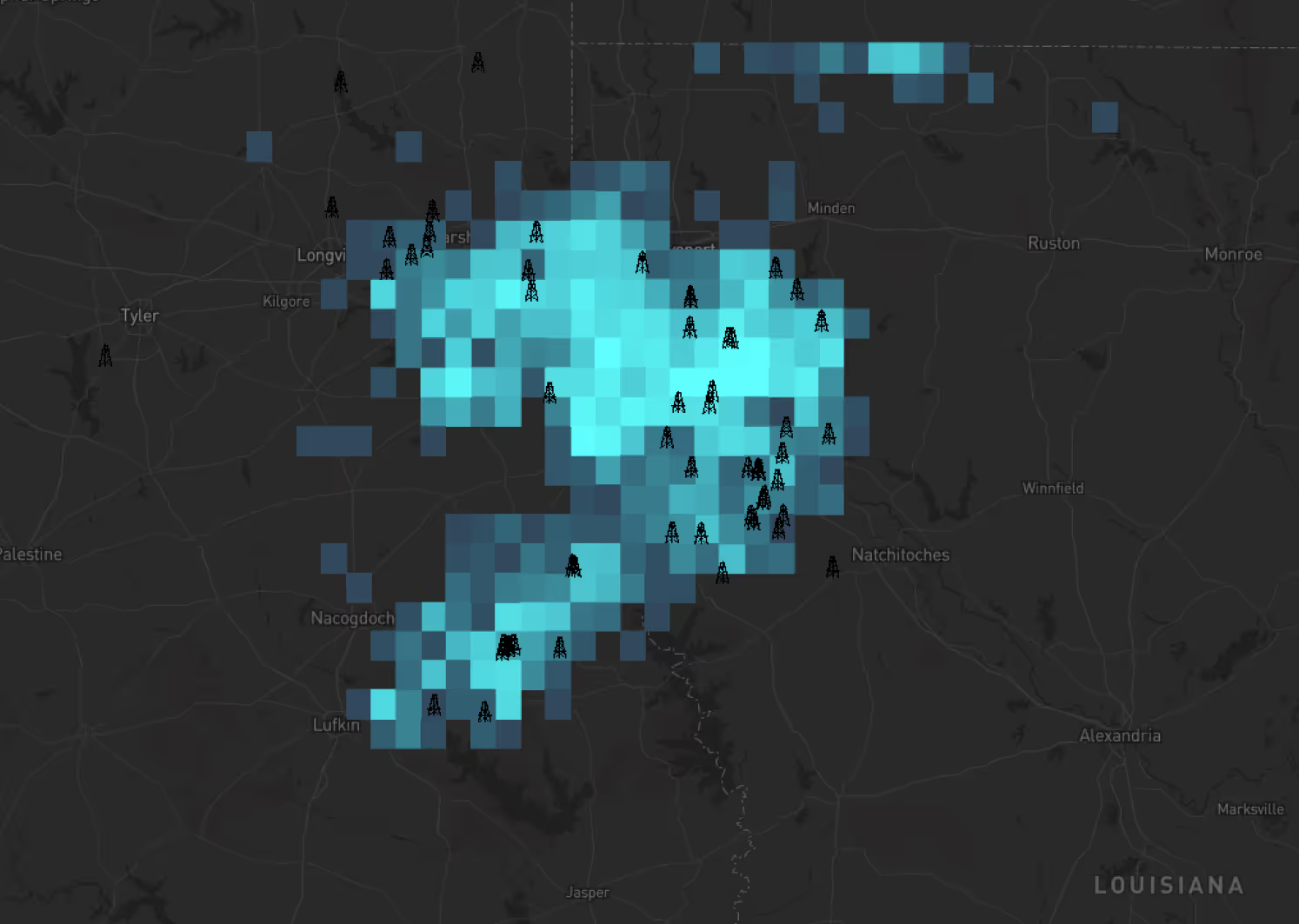
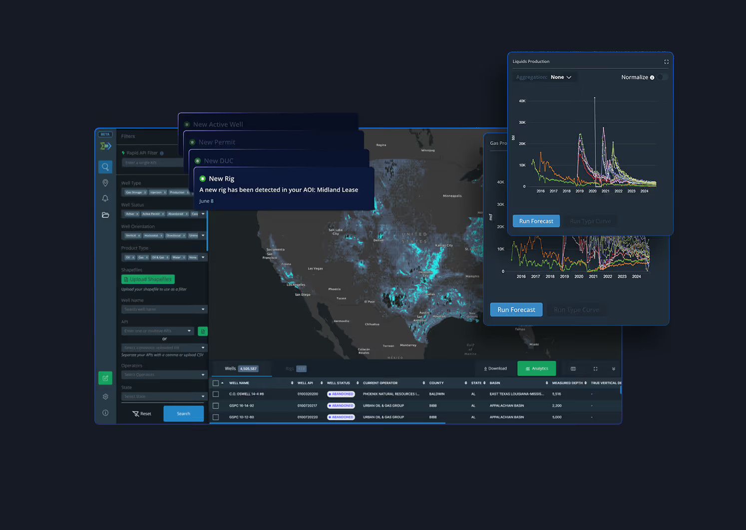
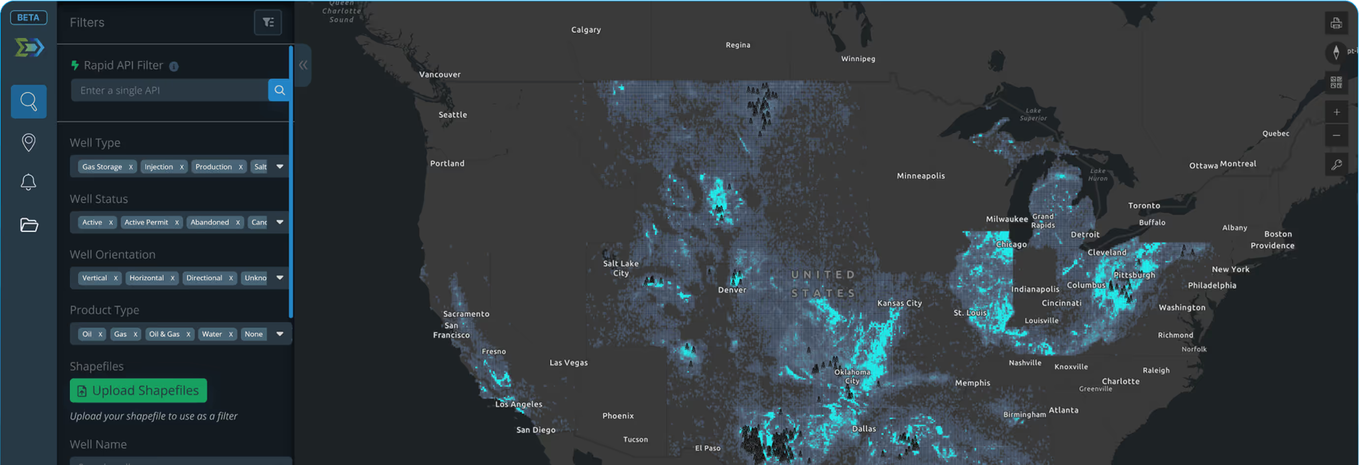
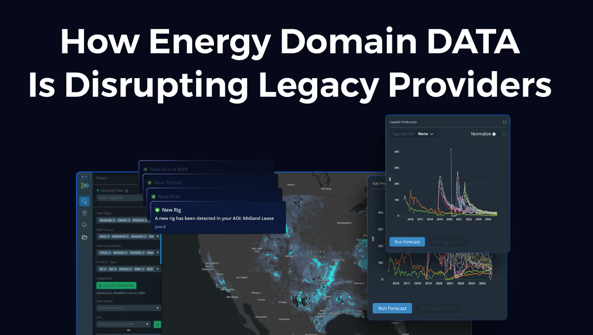
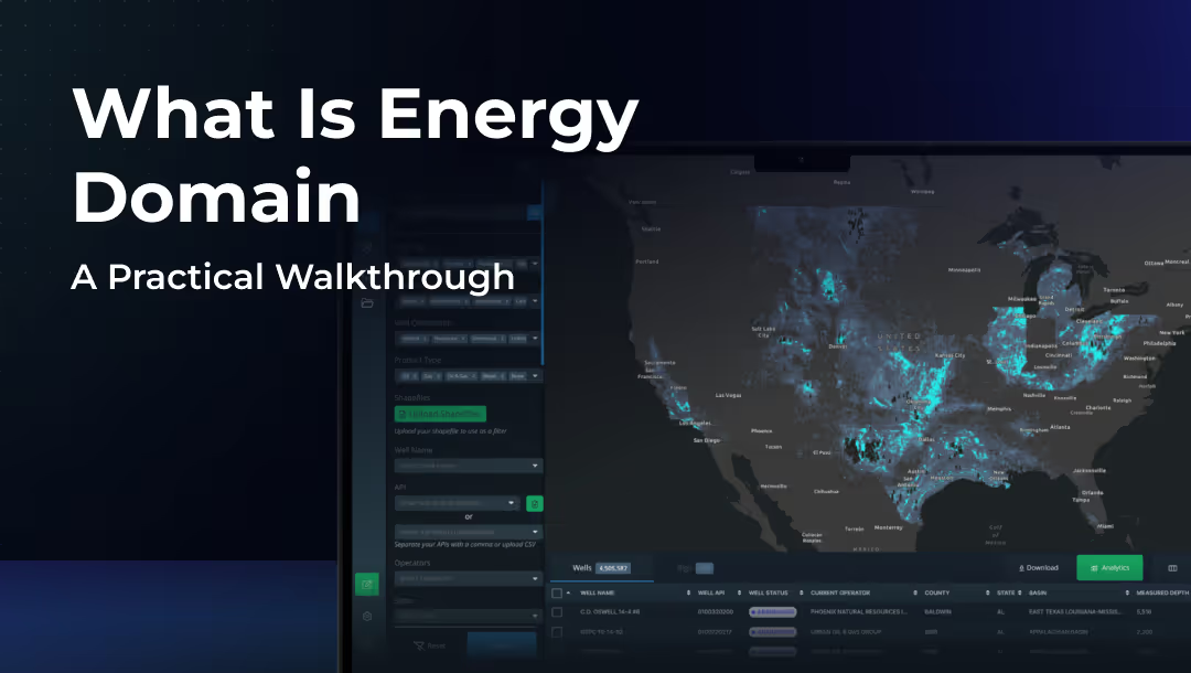
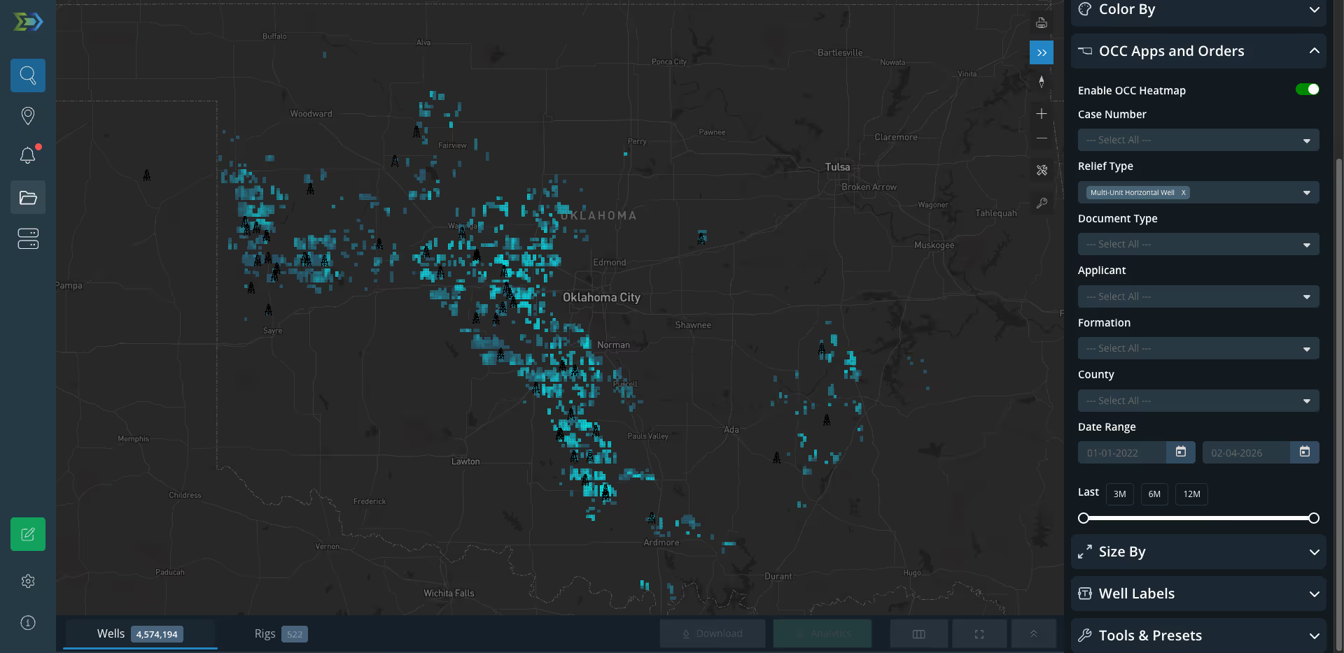
- Map-Driven Analytics — Visualize Haynesville Basin well activity, rig locations, and production data on an interactive map
- Forecasting & Type Curve Analytics — Generate forecasts and type curves with flexible decline modeling built into the application
- Geospatial Activity Alerts — Define custom areas of interest and receive notifications on new rig placements and well activity
- Data Export — Export well lists, production data, and more for use in your own workflows
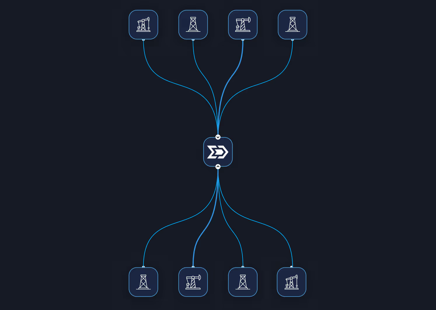
- DataStream Direct (API Access) — JDBC/ODBC connector for integrating Energy Domain data directly into your BI tools and systems
- Live Chat Support — Get in-app help with an average response time under five minute
Why Energy Domain for the Haynesville Basin?
Legacy providers charge enterprise-level prices designed for the largest operators. Energy Domain delivers the same high-quality upstream data at a fraction of the cost, with flexible county, basin, and nationwide subscriptions, transparent pricing, and no long-term contracts. Subscribe to exactly the geography you underwrite.
Beyond core state-reported production and permits, Energy Domain builds proprietary derived datasets: volume-conserved production allocations, Confirmed Interval landing zone identification, daily rig locations sourced directly from drilling contractors, and Texas mineral appraisal data. The data you actually need to underwrite a deal, not just the data the state happens to publish.
Founded by landmen and oil and gas professionals who spent years working with legacy platforms. Every dataset, every field, every delivery method is informed by real upstream workflows, from PDP underwriting to runsheet construction to rig tracking. We ship improvements in weeks, not quarters.
99.97% lifetime uptime. DataStream Direct JDBC access for piping data straight into your warehouse. Snowflake connectivity. Self-serve subscription management. Live product roadmap. Energy Domain is built for the way engineering and acquisition teams actually consume data.
Get Started
Whether you’re looking for Haynesville Basin data, ready to buy or sell assets, or both — Energy Domain has you covered.
energydomain.com | 817-928-3322

.png)














© 2026 Energy Domain · Fort Worth, TX