0 Results for ""

Web Feature Service
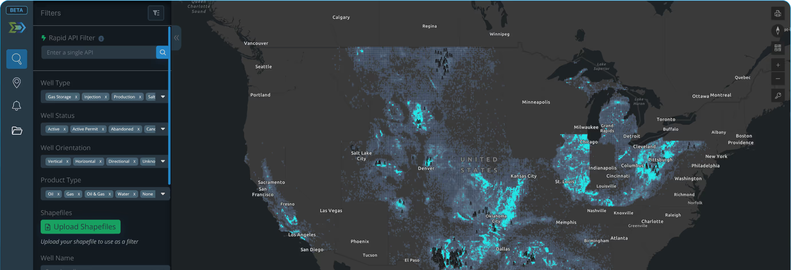
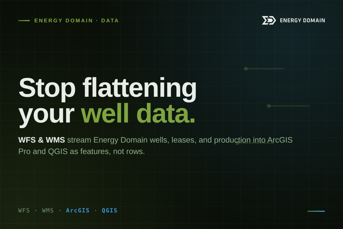
Connect ArcGIS Pro, QGIS, or any OGC-compliant GIS directly to Energy Domain's well, lease, and production data. Wells land on your map as features, not rows in a spreadsheet. Ready to select, query, and layer alongside your existing geospatial workflows.
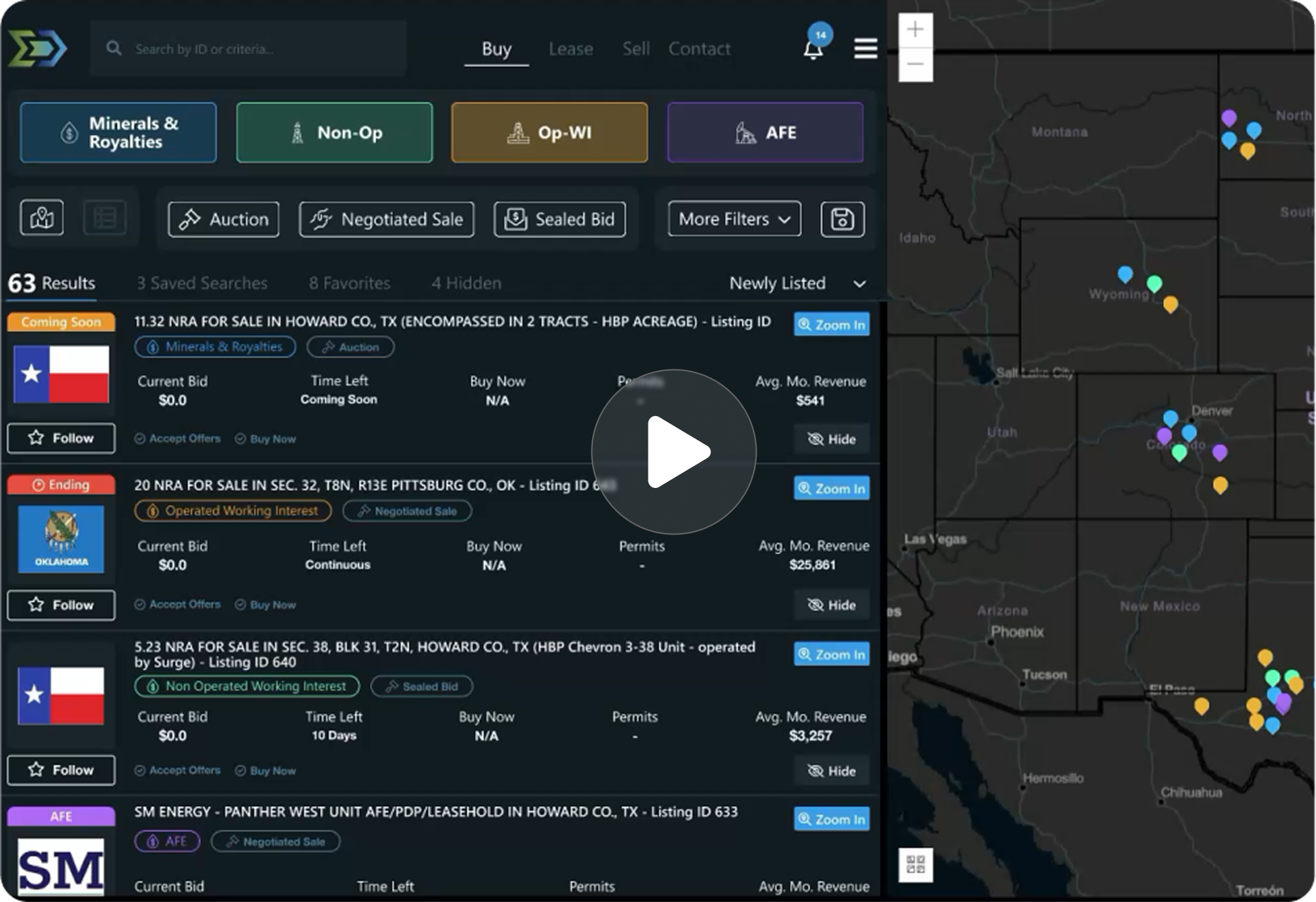
Trusted by operators, non-op buyers, mineral aggregators, and A&D advisors across the upstream market.






Overview
Most upstream data tools assume your workflow runs through SQL or a spreadsheet. For a large share of teams, it doesn't, geologists, GIS analysts, and land professionals work primarily inside ArcGIS Pro, QGIS, and the broader Esri stack, where every flat data export becomes a re-import, a re-projection, and a re-join. Energy Domain's WFS and WMS endpoints close that gap by serving our well, lease, and production data directly into your GIS as map-native objects.
Web Feature Service (WFS) delivers each well as a queryable feature with full attributes attached, select it on the map and the entire data record loads with it, ready to symbolize, filter, and run geoprocessing against. Web Map Service (WMS) delivers a pre-rendered, styled map layer for visual context, drop it underneath your AOI as a basemap or reference layer. Both connect natively over OGC standards: no plugins, no custom drivers, no IT tickets. Connect once, and the layer stays current as Energy Domain refreshes the source.
Key Capabilities
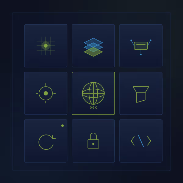
- WFS endpoint serving each well as a queryable feature with full attributes
- WMS endpoint serving pre-rendered, styled map layers for visual context
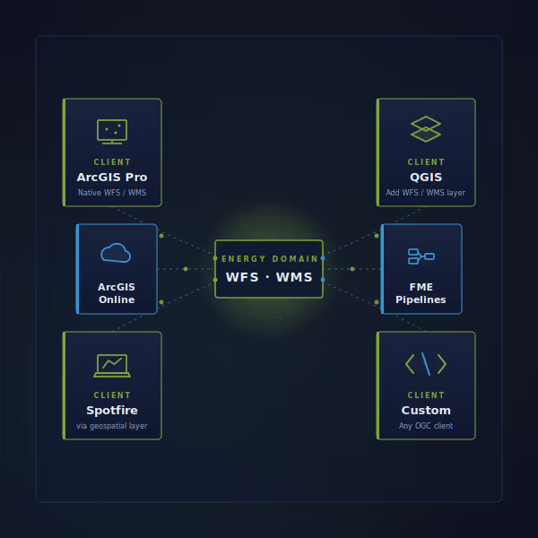
- Native compatibility with ArcGIS Pro, QGIS, ArcGIS Online, and any OGC client
- No plugins, no custom drivers, no IT tickets — connect via standard URLs
- Symbolize, filter, and run geoprocessing on Energy Domain features in your GIS
- Authentication scoped to your subscription geography
- Layers stay current as Energy Domain refreshes the source
Who Uses This
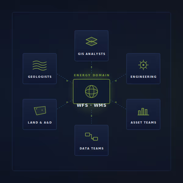
GIS Analysts load Energy Domain wells as a live feature layer in ArcGIS Pro or QGIS, then run spatial selections, buffers, and joins against proprietary acreage and infrastructure data.
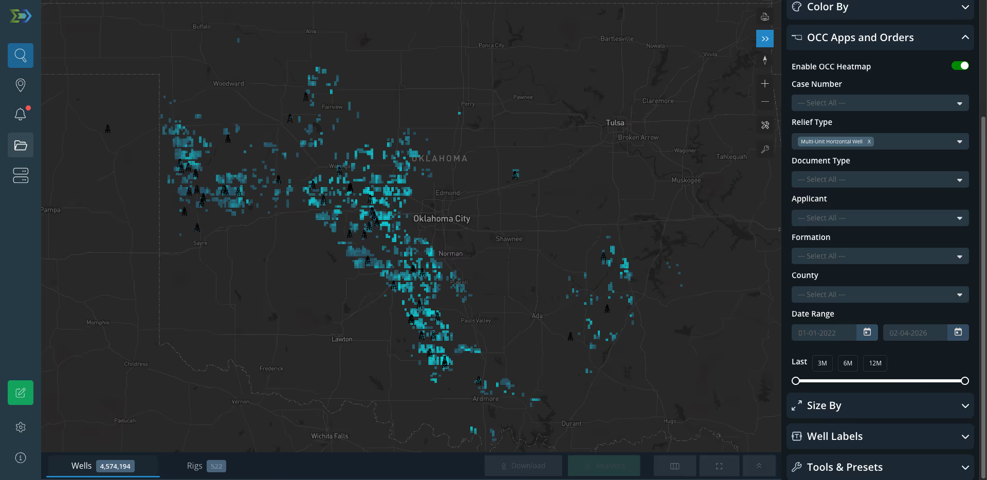
Geologists layer production heatmaps and well features under their own play maps to evaluate offset performance, formation trends, and analog wells without exporting CSVs.
Land & A&D Teams symbolize wells by operator, vintage, or status across an AOI and combine with their lease, unit, and tract layers for diligence and screening workflows.
Engineering Teams pull WFS features into geoprocessing pipelines (FME, ArcGIS ModelBuilder, custom Python) to automate reporting and keep downstream models in sync with current operator activity.
Why It Matters
Most upstream teams already work in a map-first environment, ArcGIS Pro, QGIS, Esri's online stack and every flat data export is a re-import, a re-projection, and a re-join. WFS and WMS skip that. Energy Domain's data streams directly into your GIS as map-native objects: open your project, add the connection, and every well is already on the canvas. Connect once, and the layer stays current as Energy Domain refreshes the source.


.png)















© 2026 Energy Domain · Fort Worth, TX