0 Results for ""

Spacing
Left/right neighbor detection with spacing classification for every horizontal well.
Trusted by operators, non-op buyers, mineral aggregators, and A&D advisors across the upstream market.






Overview
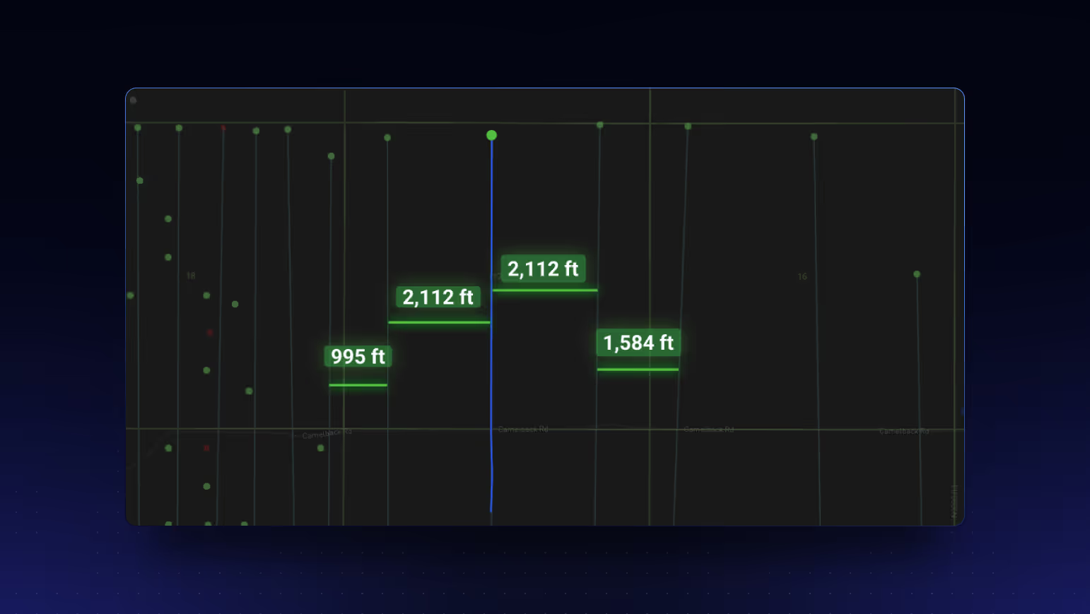
Well spacing data is currently in development. When launched, this dataset will provide automated identification of each horizontal well’s nearest neighbors (left and right) along with classification of the spacing relationship: full spacing, partial spacing, or unbounded.
Understanding well spacing is critical for evaluating infill potential, assessing parent-child well interference risk, and benchmarking development density against type curve assumptions. Most teams currently perform this analysis manually by exporting directional surveys into GIS software, measuring inter-lateral distances, and categorizing spacing by hand.
The spacing engine will leverage directional survey data and confirmed interval assignments to measure true subsurface distances between laterals in the same formation, not surface-location approximations that can misrepresent spacing in areas with significant wellbore deviation.
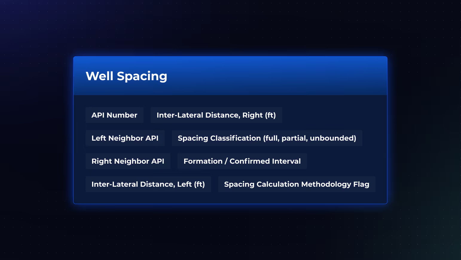
Planned Key Fields
- API Number
- Left Neighbor API
- Right Neighbor API
- Inter-Lateral Distance, Left (ft)
- Inter-Lateral Distance, Right (ft)
- Spacing Classification (full, partial, unbounded)
- Formation / Confirmed Interval
- Spacing Calculation Methodology Flag
Data Sources & Update Frequency
Will be derived from Energy Domain’s directional survey data and confirmed interval assignments, measuring true subsurface inter-lateral distances within the same formation.
Who Will Use This
Reservoir Engineers will evaluate infill economics, assess parent-child interference risk, and compare well performance normalized for spacing density.
Development Planners will reference automated spacing calculations when designing new well programs, calibrating lateral placement against offset performance by spacing class.
Acquirers will screen for remaining infill opportunities by identifying unbounded or partially spaced wells that signal additional development potential.
Why It Will Matter
Spacing drives economics. A well with full offsets on both sides performs differently than a well with open spacing. Automating spacing identification and classification eliminates a time-consuming manual GIS workflow and embeds spacing context directly into every production and performance analysis on the platform.


.png)


















© 2026 Energy Domain · Fort Worth, TX