0 Results for ""

Well Header Data
The foundational record for every well in your area of interest.
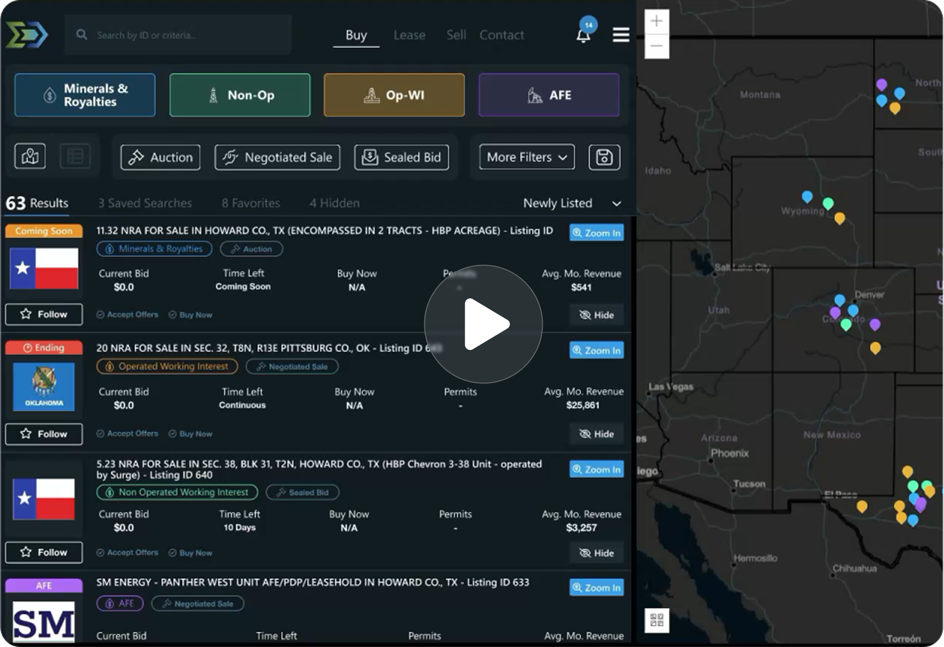
Trusted by operators, non-op buyers, mineral aggregators, and A&D advisors across the upstream market.






Overview
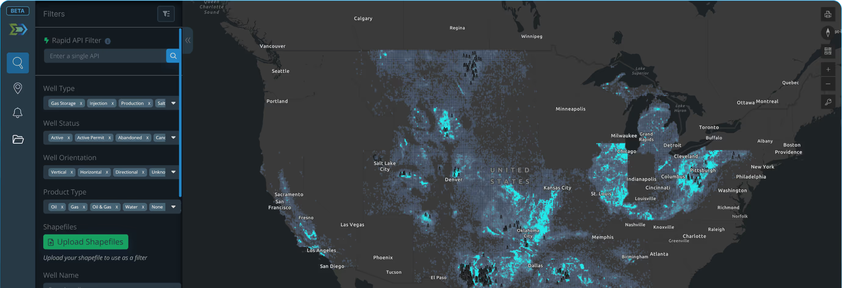
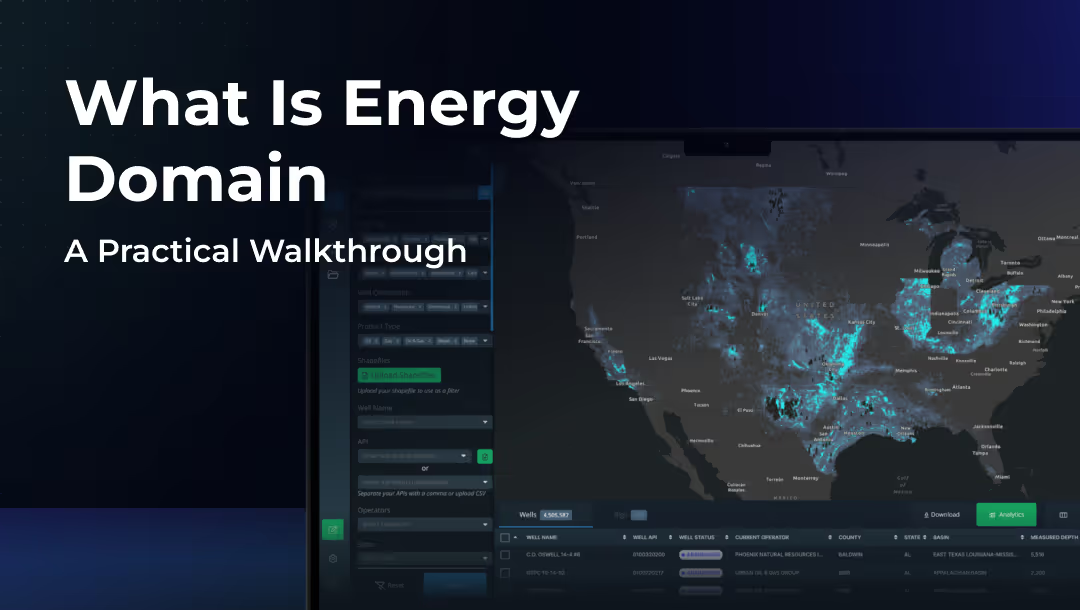
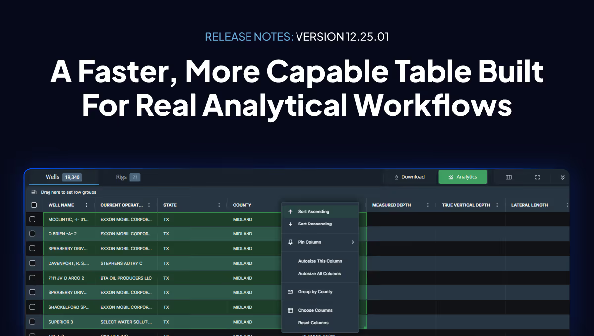
Well header data is the identity layer for every well in the Energy Domain platform. It includes API number, operator, lease name, location coordinates, target formation, well status, and permit details. These attributes anchor every other dataset. Without clean, normalized headers, production numbers, surveys, and allocations have no reference point.
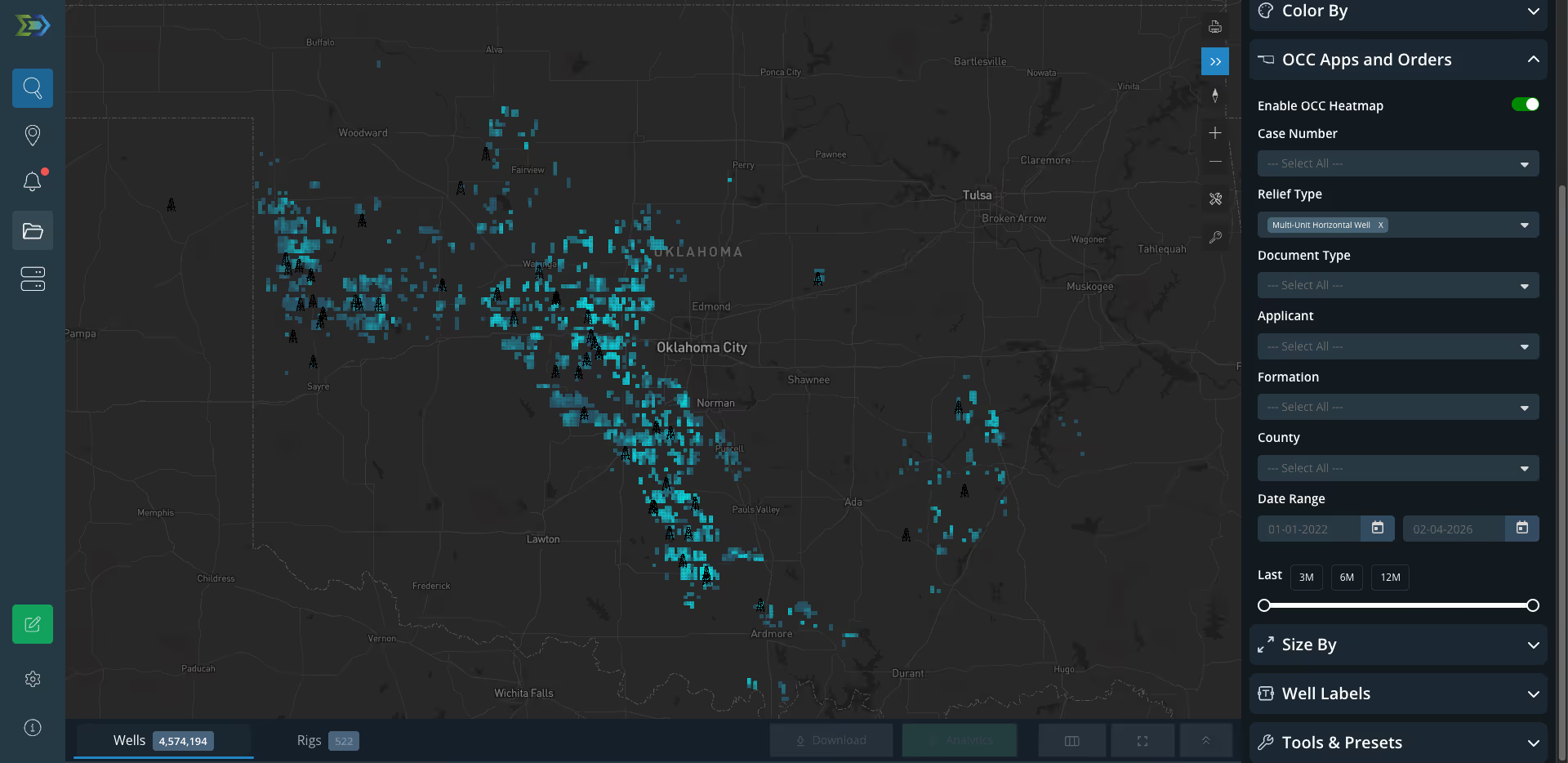
Every record is sourced directly from state regulatory agencies, validated against the API number, and normalized for operator naming inconsistencies. Status changes, operator transfers, and permit updates are reflected as filings are processed. This is the entry point for every platform workflow: screening counties, filtering by operator, building acquisition target lists, or identifying DUCs and permitted locations in an AOI.
Key Fields
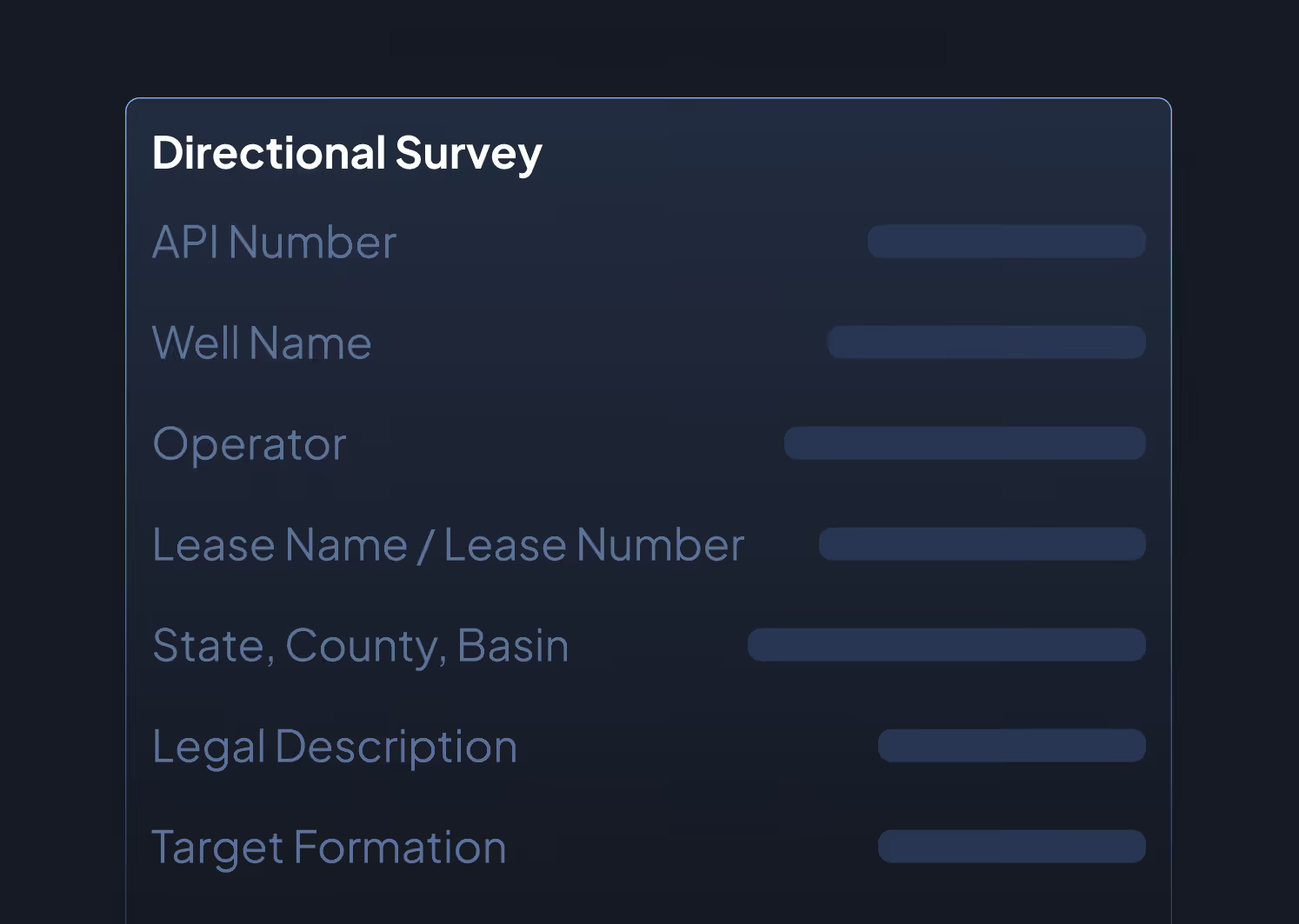
- API Number (10-digit, expanding to API-14)
- Well Name
- Operator (current, with alias resolution)
- Lease Name / Lease Number
- State, County, Basin
- Legal Description (survey, abstract, section/township/range)
- Surface and Bottomhole Latitude/Longitude
- Target Formation
- Well Type (oil, gas, injection, disposal, etc.)
- Well Status (producing, shut-in, TA, PA, DUC, permitted, etc.)
- Permit Date, Spud Date, Completion Date, First Production Date
- Total Measured Depth (MD)
- True Vertical Depth (TVD)
- Elevation (KB/GL)
- Well Classification (horizontal, vertical, directional)
Data Sources & Update Frequency
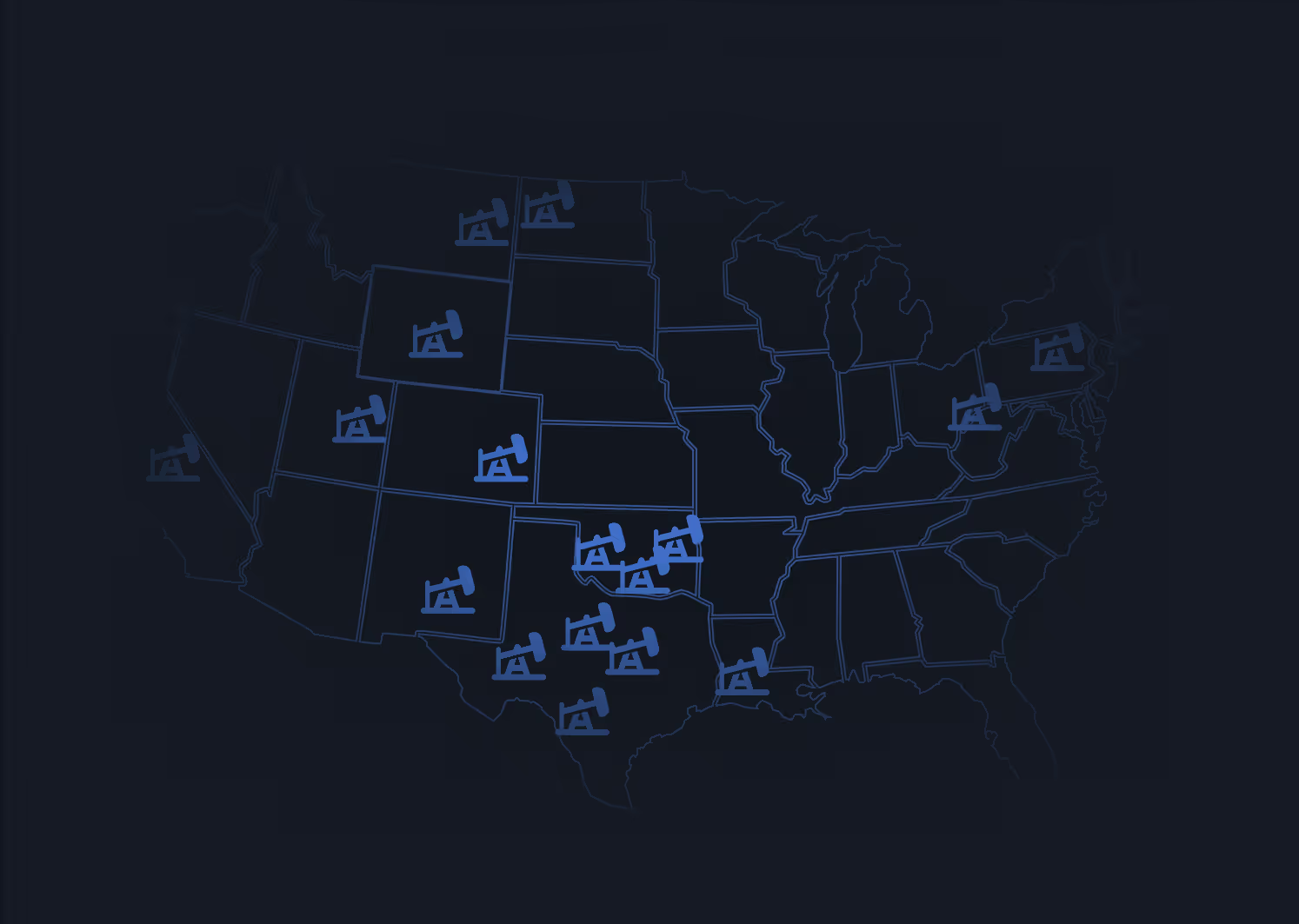
Sourced from the Texas Railroad Commission, Louisiana SONRIS, Oklahoma Corporation Commission, and equivalent agencies in New Mexico, Colorado, and other producing states. Status changes update daily; new permits and completions update daily.
Who Uses This
Land Teams identify active operators on a lease, confirm permit status before acquisitions, and cross-reference legal descriptions against title records.
A&D Teams filter by operator, status, and date range to build target lists and screen county-level activity before committing diligence resources.
Engineers identify offset wells by formation and well type, establish analog sets for type curve analysis, and confirm lateral classifications.
Mineral Aggregators query for DUCs and permitted-but-undrilled locations that signal near-term development on positions under evaluation.
Why It Matters
Every capital decision in upstream starts with identifying the right wells. Stale headers with wrong operators, outdated statuses, or missing permits lead to wasted diligence time and missed acquisition windows. Clean, current well header data eliminates the first point of friction in any evaluation workflow.


.png)
















© 2026 Energy Domain · Fort Worth, TX