0 Results for ""

Water Production
Well-level water production estimates derived from test-based ratios and allocated hydrocarbon volumes.
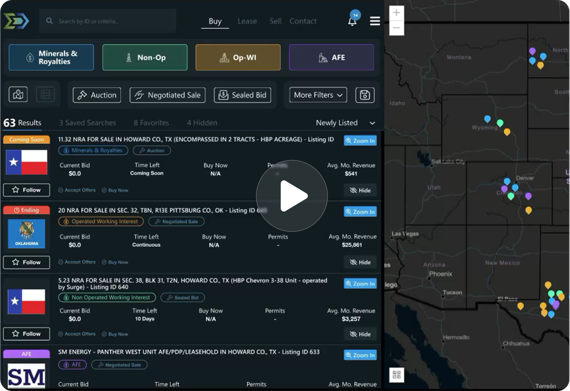
Trusted by operators, non-op buyers, mineral aggregators, and A&D advisors across the upstream market.






Overview
Water production in Texas and Louisiana is not reported at the lease level by state agencies. Unlike oil and gas, where lease-level totals provide a known baseline for allocation, there is no regulatory water production total to distribute. Energy Domain estimates well-level water production using a ratio-based methodology built on well test measurements and allocated hydrocarbon volumes.
The process works in four steps. First, water-to-oil and water-to-gas ratios are calculated from well test data, where water rates are measured alongside hydrocarbon rates. Second, each well is classified as primarily an oil or gas producer based on cumulative test history. Third, ratios are interpolated between test dates to create continuous water cut curves. Fourth, the interpolated ratios are applied to allocated oil or gas production to estimate monthly water volumes.
Water production estimates provide trend information for understanding water handling requirements, estimating LOE (specifically water disposal costs), and identifying wells with rapidly increasing water cut that may signal reservoir boundary effects or mechanical issues.
Key Fields
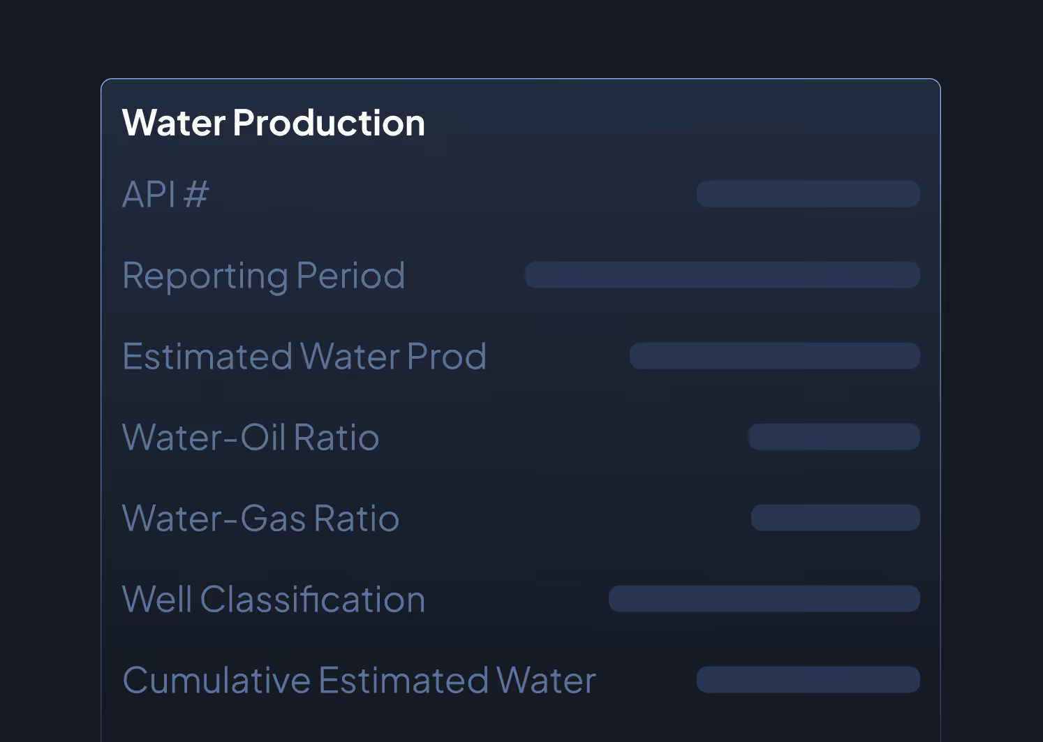
- API Number
- Reporting Period (month/year)
- Estimated Water Production (bbls)
- Water-to-Oil Ratio (at test dates)
- Water-to-Gas Ratio (at test dates)
- Well Classification (oil well / gas well)
- Cumulative Estimated Water Production
- Estimation Methodology Flag (ratio-based)
Data Sources & Update Frequency
Derived from well test data (Texas RRC and Louisiana SONRIS) and allocated hydrocarbon production. Updated when allocations are recalculated, typically as new well tests are received or production data is revised.
Who Uses This
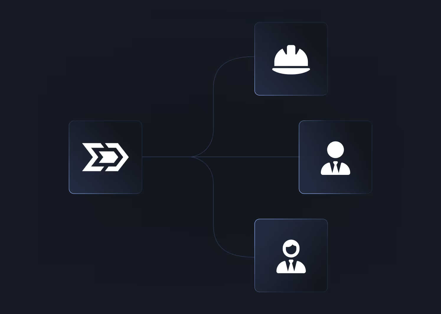
Production Engineers forecast water handling requirements, size disposal infrastructure, and estimate lifting costs on a per-well basis.
Acquirers factor water production into LOE projections when underwriting acquisitions. Rising water cut directly impacts operating costs and netback calculations.
Reservoir Engineers use water cut trends to identify wells approaching water breakthrough, assess reservoir drive mechanisms, and calibrate simulation models.
Operators monitor water production trends across their leases to anticipate disposal cost changes and plan water management infrastructure.
Why It Matters
Water production is one of the largest variable operating costs in upstream oil and gas. Disposal fees, trucking, and SWD well capacity planning all depend on understanding how much water each well is producing and how that volume is trending. Without well-level water estimates, you are guessing at per-well LOE, and guessing incorrectly on water disposal can turn a profitable well into a marginal one. Water estimates are necessarily less certain than oil and gas allocations because there is no lease-level total to validate against. Energy Domain is transparent about this limitation; water production estimates are flagged as ratio-based derivations and should be validated against operator-reported field data where available.



.png)















© 2026 Energy Domain · Fort Worth, TX