0 Results for ""

Directional Surveys
Full lateral path visibility for every horizontal well with a filed survey.
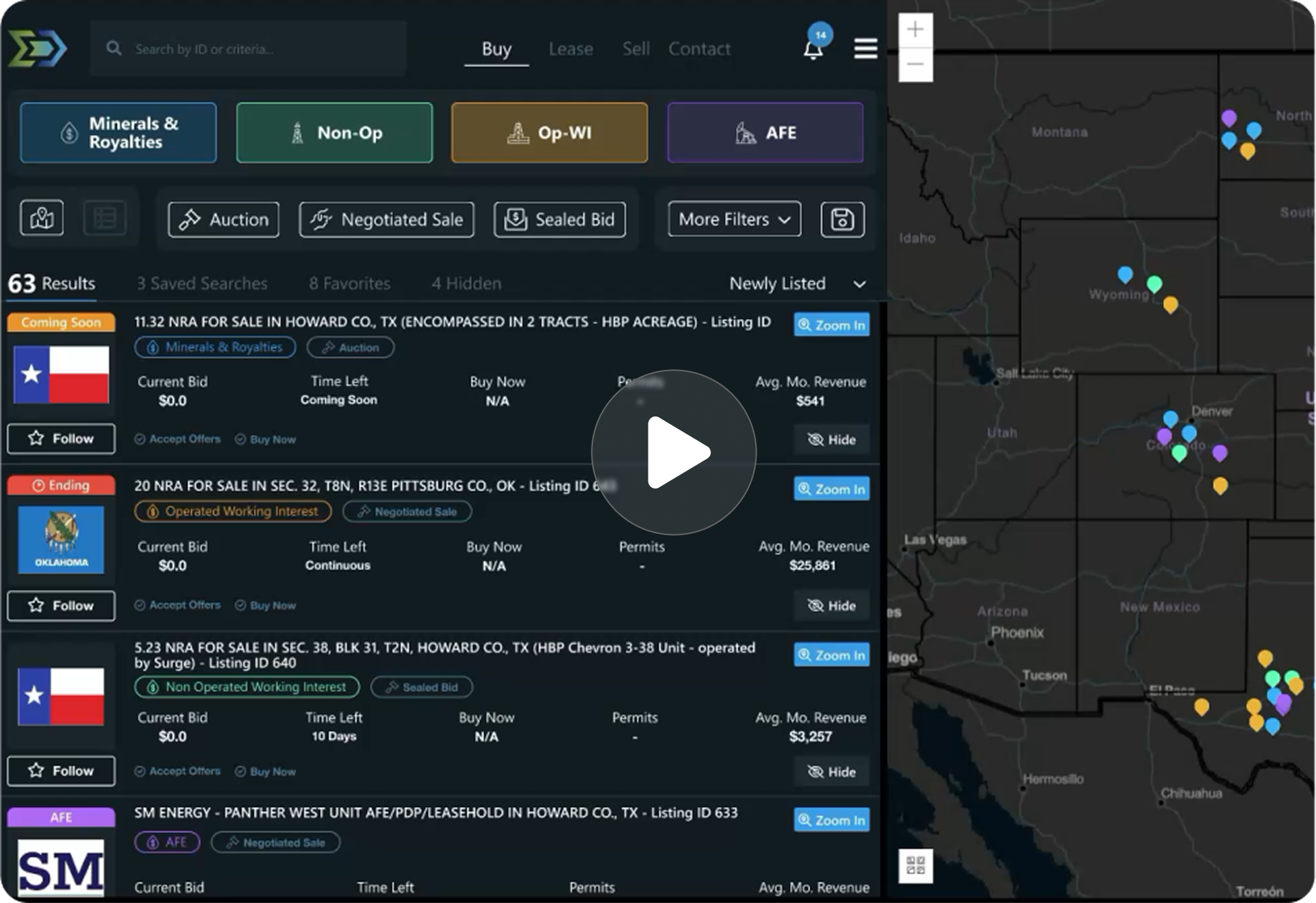
Trusted by operators, non-op buyers, mineral aggregators, and A&D advisors across the upstream market.






Overview
Directional survey data provides the three-dimensional wellbore path for horizontal and directional wells, from surface location through the build curve and along the entire lateral. Energy Domain ingests raw deviation data including measured depth (MD), inclination, azimuth, and survey station measurements for all horizontal wells with filed surveys.
This data is essential for understanding where a well actually sits in the subsurface, not just where it was permitted. Lateral placement, landing zone depth, wellbore spacing, and proximity to offset wells all depend on accurate survey data.
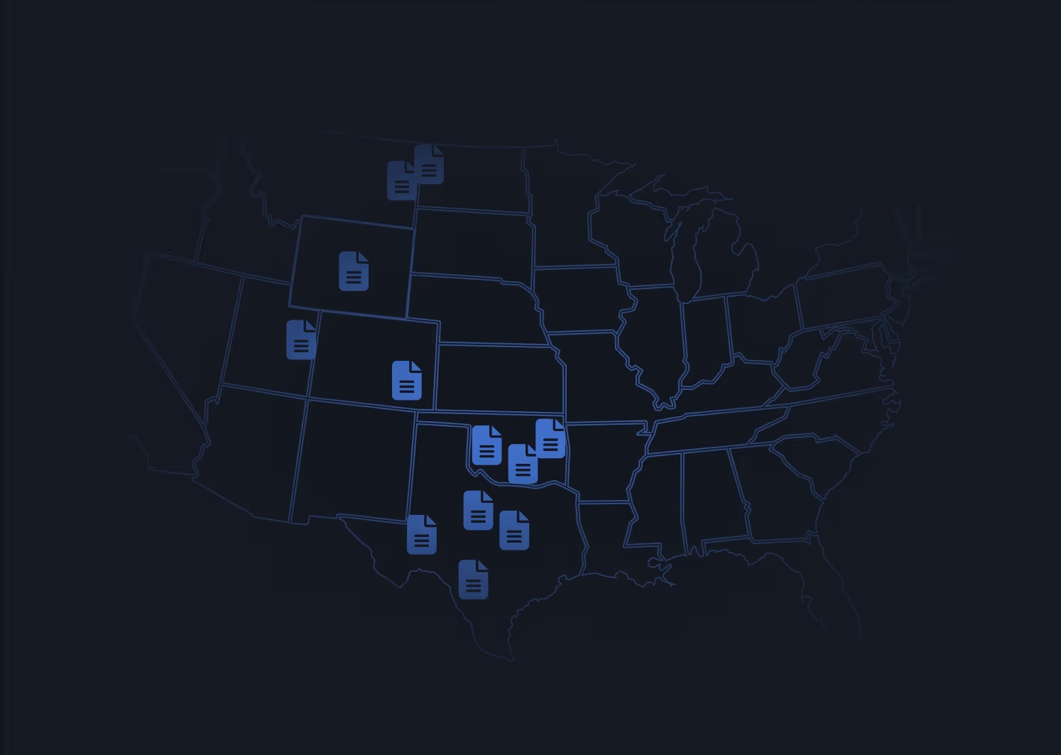
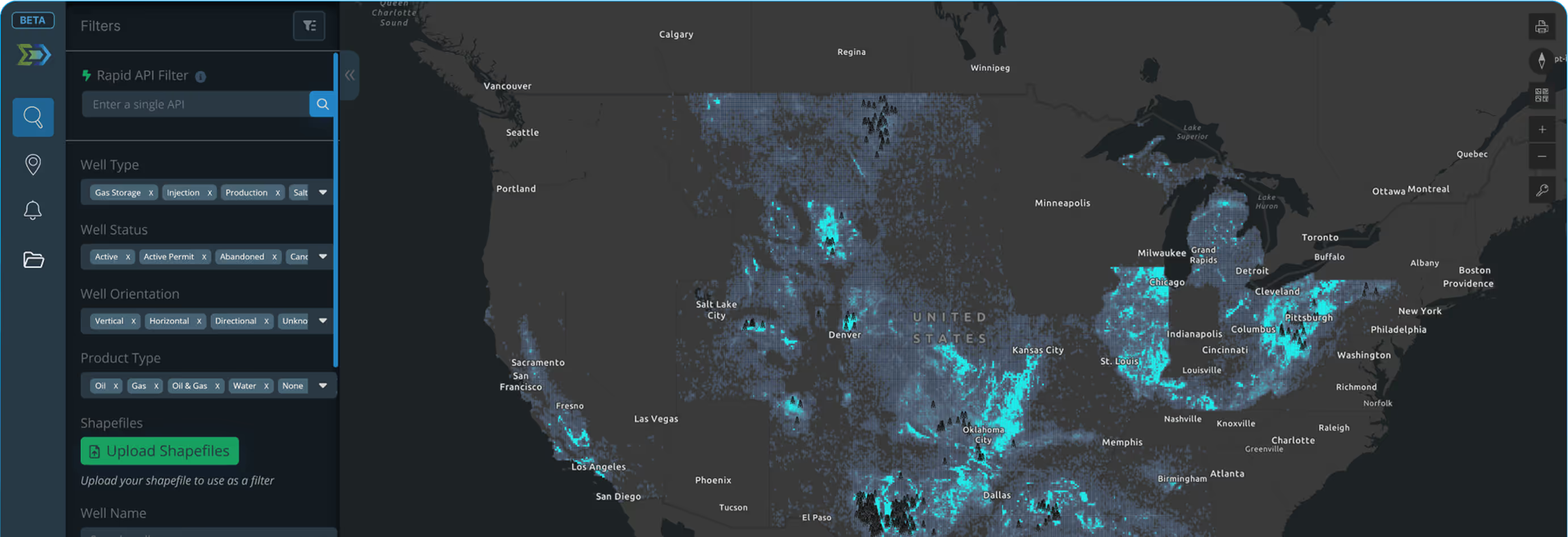
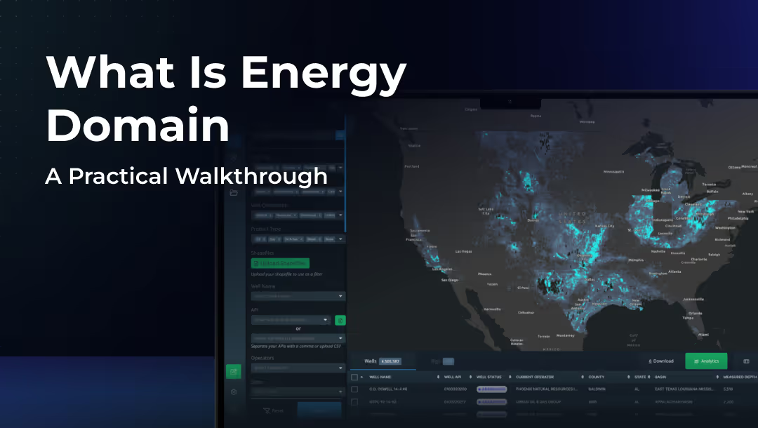
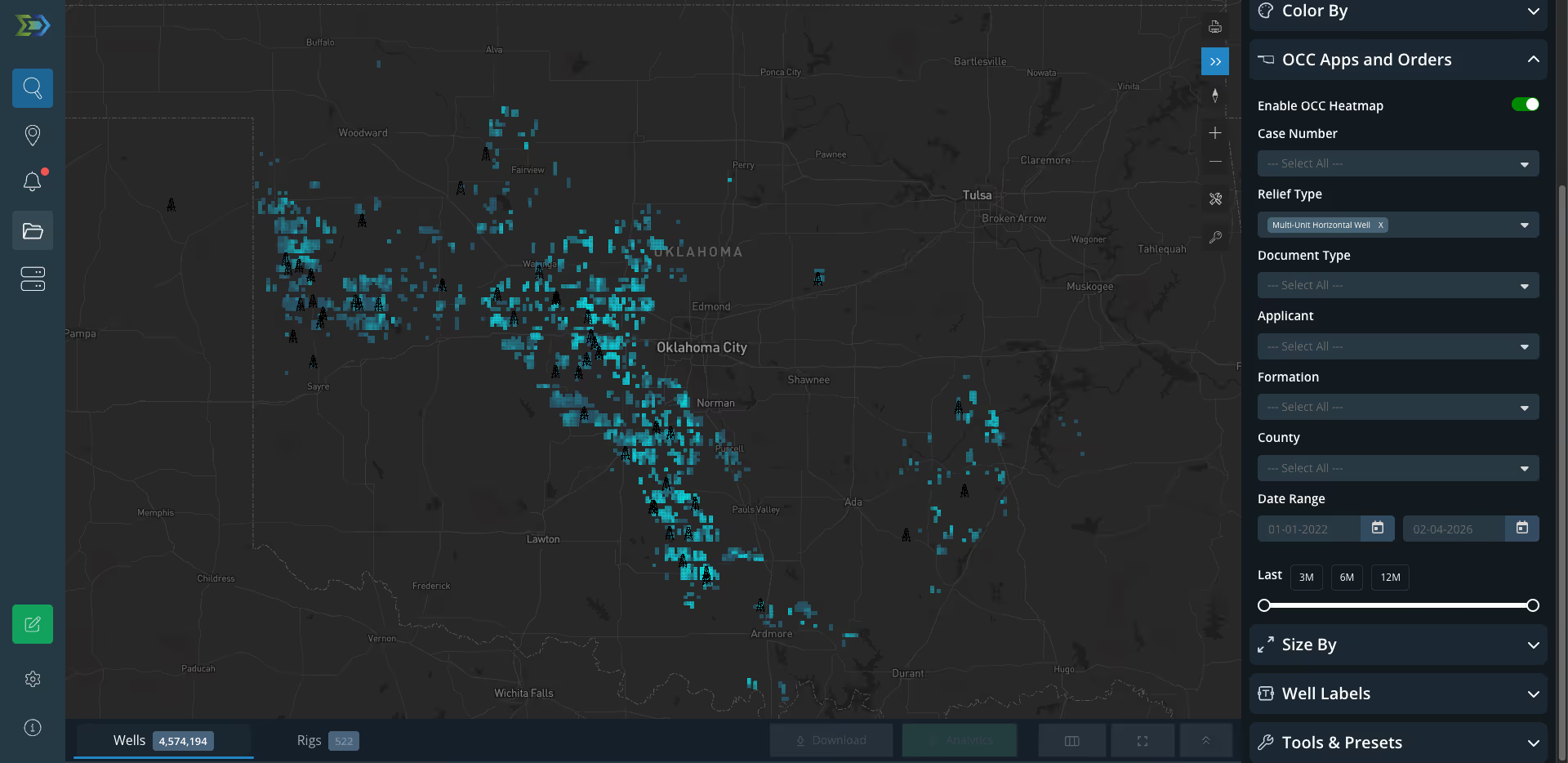
Directional surveys are tied directly to the well’s API number and rendered on the platform’s interactive map, providing spatial context alongside header, production, and allocation data in a single view.
Key Fields
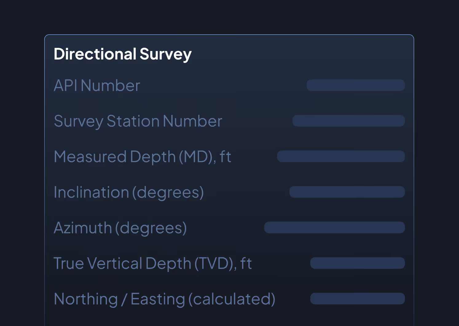
- API Number
- Survey Station Number
- Measured Depth (MD), ft
- Inclination (degrees)
- Azimuth (degrees)
- True Vertical Depth (TVD), ft
- Northing / Easting (calculated)
- Latitude / Longitude at each station
- Bottomhole Location (latitude/longitude)
- Lateral Length (calculated from survey stations)
Data Sources & Update Frequency
Sourced from state regulatory filings and operator-submitted directional survey reports. Updated as new surveys are filed, typically shortly after completion. Historical surveys are maintained and not overwritten when subsequent surveys are filed.
Who Uses This
Reservoir Engineers confirm landing zone placement, calculate true lateral length, and evaluate well spacing against offset laterals in the same formation.
Geologists map wellbore trajectories against structural and stratigraphic models to assess formation targeting accuracy and identify drilling patterns across a development program.
A&D Teams verify seller-reported lateral lengths, confirm target zone landing, and identify potential wellbore interference issues on evaluated properties.
Land Teams confirm that a wellbore remains within lease boundaries and identify any cross-unit lateral segments that affect working interest allocation.
Why It Matters
A permitted well location tells you where an operator planned to drill. A directional survey tells you where they actually drilled. That distinction matters when evaluating offset performance, assessing spacing assumptions, or confirming that a 10,000-foot lateral is actually 10,000 feet. In the Permian, where landing zone selection and lateral placement drive billions in capital allocation decisions, directional survey data is non-negotiable.


.png)




















© 2026 Energy Domain · Fort Worth, TX