For a supply or service company, a drilling permit isn't just a sales signal. It's the first event in a logistics chain that ends with a truck at a location. New permit, new spud, new completion: each one eventually means casing, tubing, fluids, or a tank-battery hookup that has to get somewhere specific.
The companies that do this well usually do it by hand. Someone watches permits in the counties they serve, pulls the coordinates, builds a pin drop, and hands it to a driver. It works. It's also a person's week spent re-keying public records into routing instructions, and it only covers what that person catches in time.
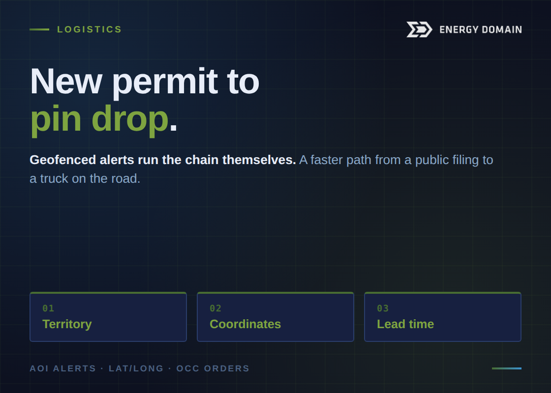
Geofenced alerts turn that manual chain into something that runs itself.
Draw your territory once
Instead of scanning a whole state, you define the geography you actually serve: a buffer around each yard, store, or staging point (say, a ten-mile radius) and let the platform watch inside those boundaries.
From then on, you get a daily email when something new happens in your service area: a permit filed, a rig moved in, a spud, a completion. No dashboard to check, no report to run. The activity that matters to your routes comes to your inbox, already filtered to where you can act on it.
That alone replaces the manual monitoring most supply teams are doing today. But the bigger payoff is what's in the export.
The coordinates ship with the data
Knowing a well permitted in your county is useful. Knowing exactly where it is, with surface latitude and longitude ready to drop into a map or a routing tool, is what dispatch actually needs.
Surface lat/long comes in the export. So instead of someone compiling coordinates after the fact, the data lands ready: a driver gets a pin drop for the casing run, the delivery for a tank-battery hookup goes straight onto the route. The gap between "new activity" and "truck en route" closes from days of manual work to the time it takes to read an email.
You choose the columns, too, so the export carries the operator, county, and identifiers your team needs alongside the coordinates, not a fixed layout you have to clean up first.
Get ahead of the permit entirely
In Oklahoma, you don't have to wait for a permit to see activity coming. OCC applications and orders show up before the permit does, which means you can be aware of likely activity in your area days ahead of the official filing. For a supply company trying to be the first call when a location needs equipment, that lead time is the difference between winning the order and hearing about it after a competitor delivered.
Layered on top of permit and rig alerts, those early indicators give your sales and dispatch teams a running head start on the territory.
What it adds up to
The manual version of this workflow has a ceiling: it's only as good as the person doing it has time for, and it breaks the week they're out. The automated version scales with your footprint. Add a location, draw a new buffer, and the alerts and coordinates follow, with no extra headcount and no extra process.
For a company whose job is to have the right equipment at the right wellsite before anyone else, that's not a reporting upgrade. It's a faster path from a public filing to a truck on the road.
Map your service area and get tomorrow's permits.