0 Results for ""

Data Coverage
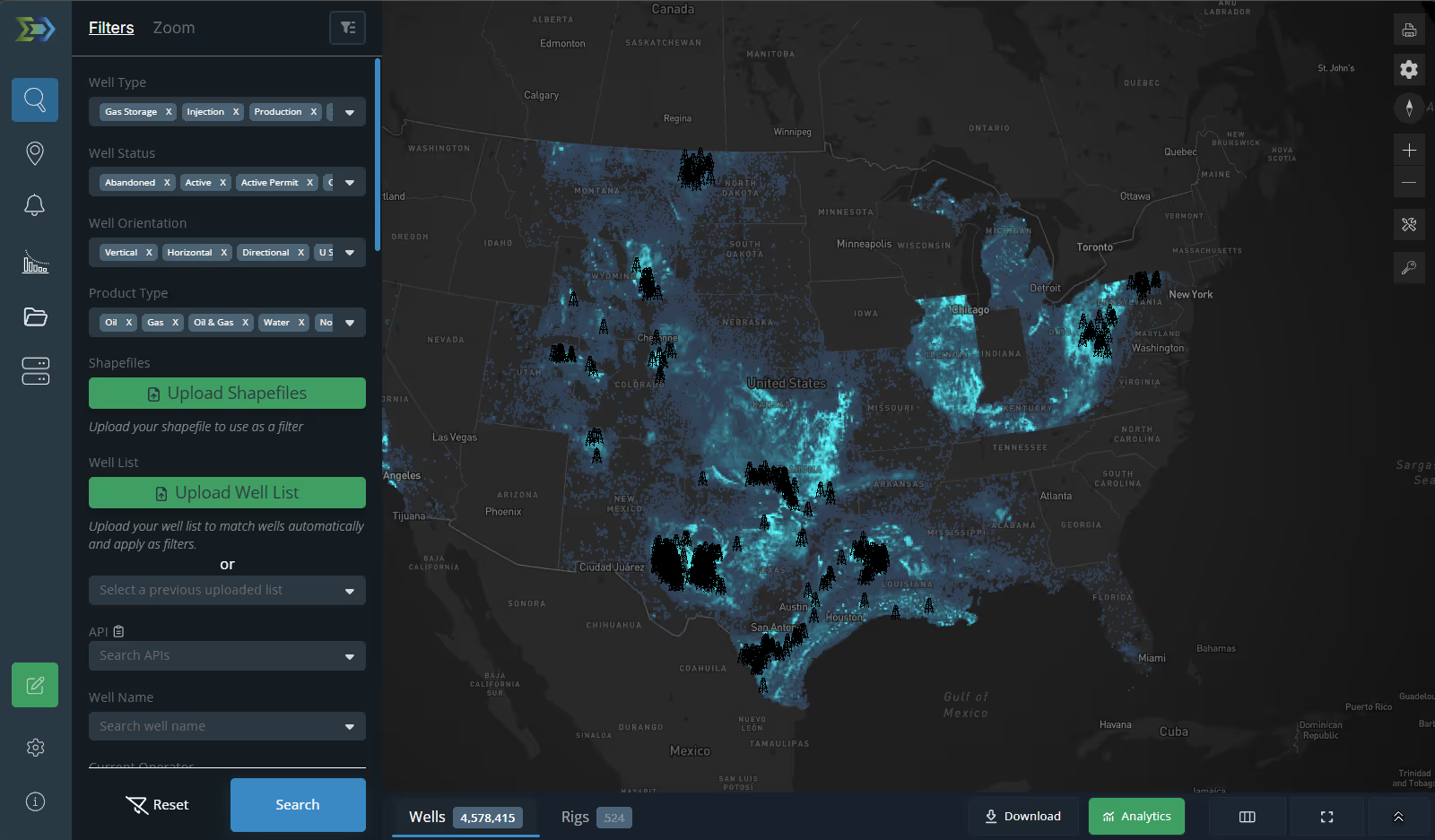
Core well data across every producing state. Derived datasets that go deeper where it matters most. Here is what is available, where, and at what level of detail.
Trusted by operators, non-op buyers, mineral aggregators, and A&D advisors across the upstream market.







Nationwide
Well Headers
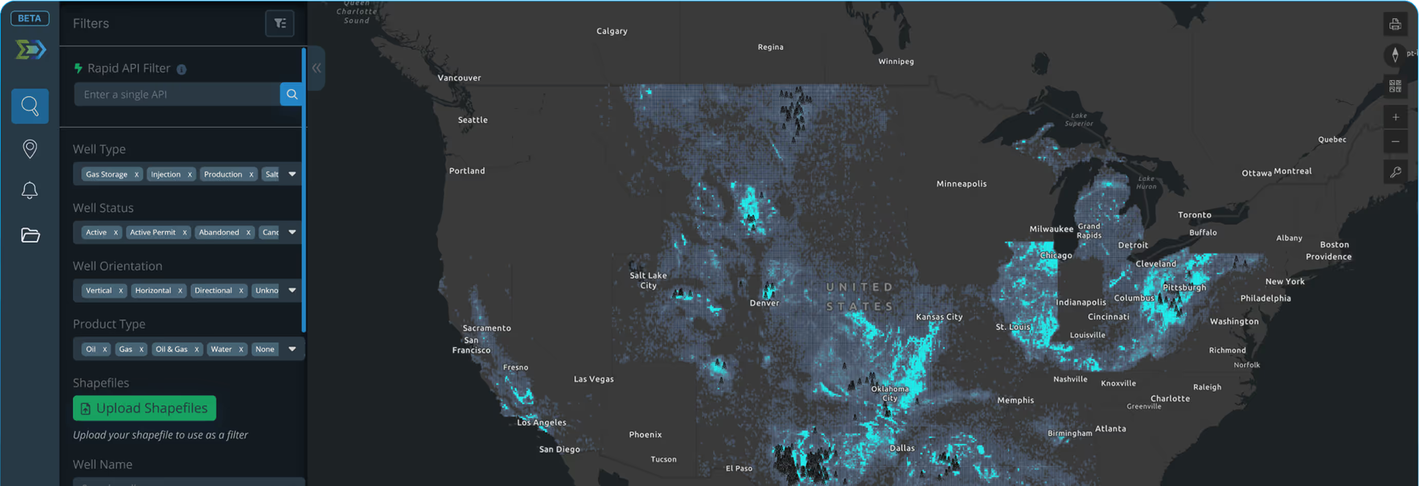
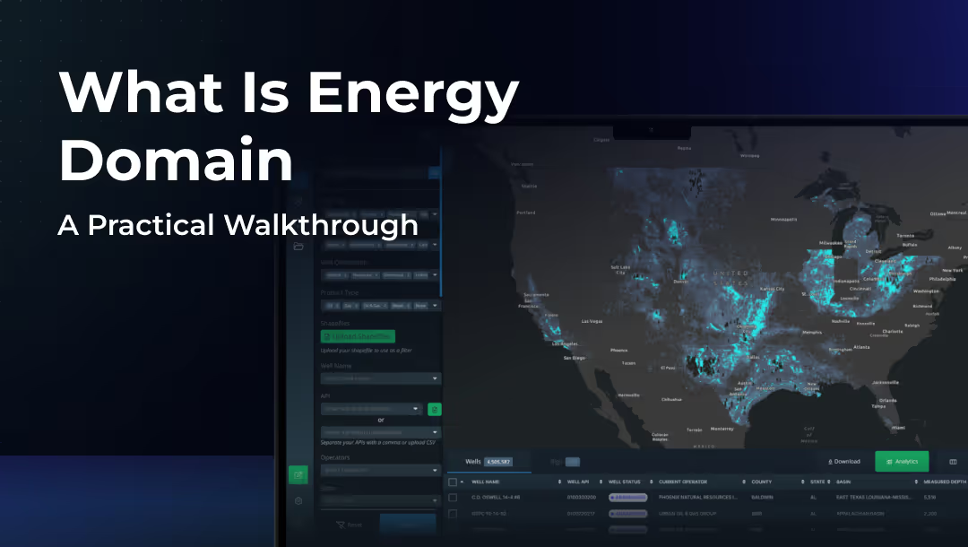
API, operator, lease, location, targets, status, and permit information for every producing state. Updated continuously from state regulatory sources.
Production
Monthly and annual oil, gas, and water volumes as reported by the states.
Well Status and Regulatory Change Logs
State-reported lifecycle statuses: shut-ins, TA, SI, recompletions, reactivations. Event-driven status engine keeps statuses updated daily.
FracFocus Completion Data
Full FracFocus data integration for completion tracking.
Directional Surveys
Measured depth, inclination, azimuth, and survey station measurements for horizontal wells where states report this data. Rendered in 3D on the map.
Calculated Production Headers
Business-level calculated headers updated daily. Operator and reservoir aliasing unifies inconsistent state and operator naming.
Lateral Lengths and Perforation Intervals
Industry-standard lateral length calculations and reported perforation intervals for horizontal wells.
Texas and Louisiana
Production Allocations
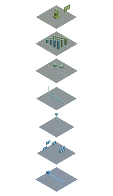
Well-test-driven production allocations for all applicable leases. Lease-level volumes allocated to individual wells using type curve interpolation and proportional allocation factors. Volume conservation maintained throughout the process.
Louisiana benefits from quarterly well tests and explicit first/last production dates from the Office of Conservation, producing higher-confidence allocations. Texas wells are generally tested annually, and temporal boundaries are estimated algorithmically. Both states use the same core methodology.
Read the Full Allocation Methodology
Well Test Data
Updated well test data for Texas and Louisiana drives the allocation process. Louisiana provides quarterly tests. Texas provides annual tests.
Confirmed Interval
Identifies the primary interval each horizontal well with a directional survey is landed in. Uses 3D surveys and formation tops.

Texas
Mineral Appraisal Data
Annual Texas mineral appraisal data and tax rolls joined to well and lease data. Included at no additional cost.
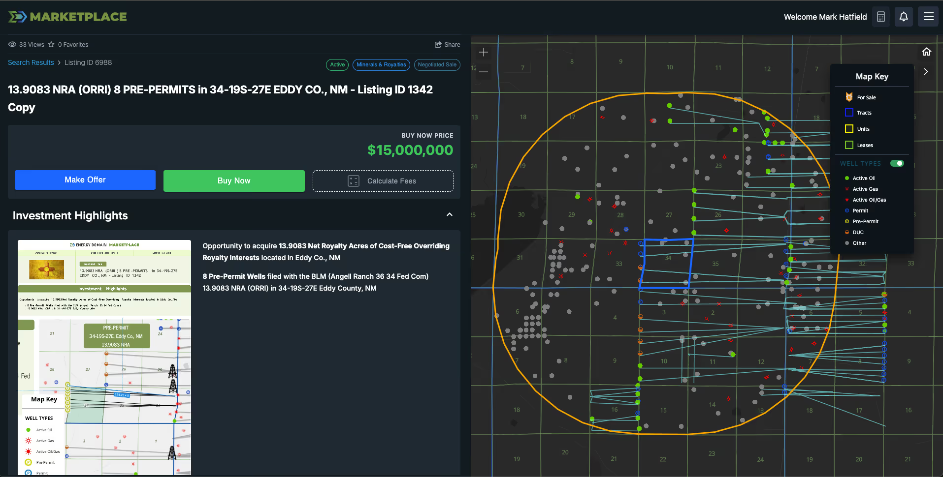
Pre-Permit Tracking
Submitted permits captured before they appear on the RRC map.
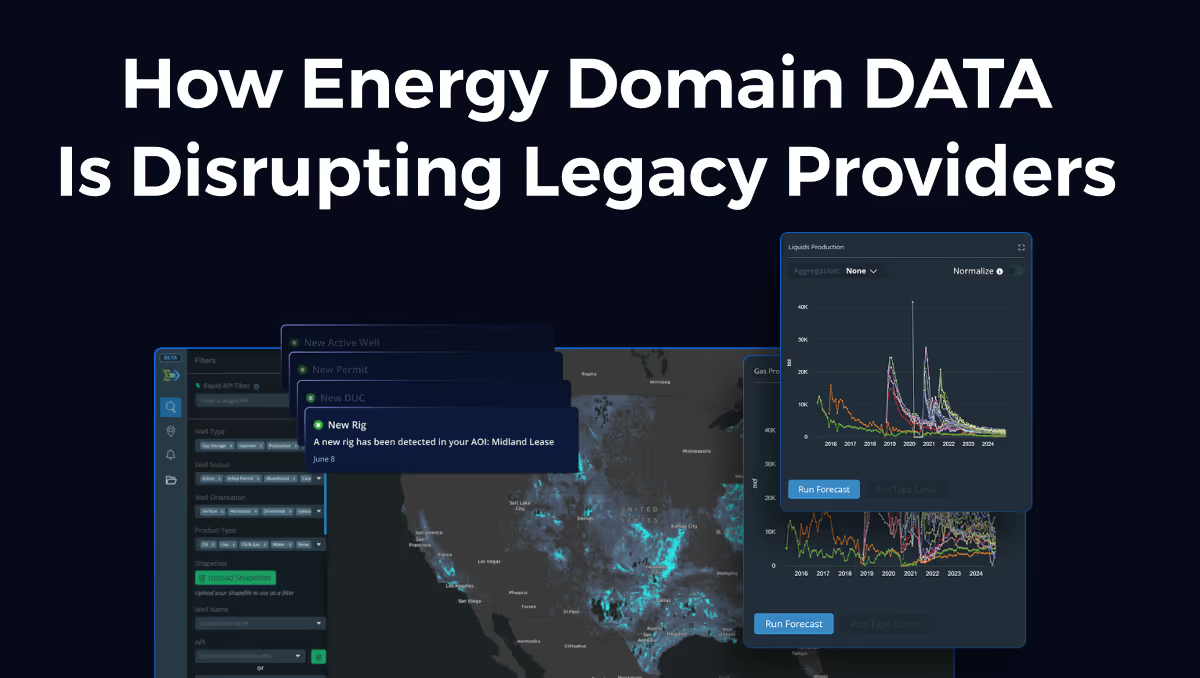
Rig Locations (Nationwide)
Updated daily. 65% of positions sourced from drilling contractors. The remainder from satellite imagery. 94 to 99% coverage compared to Baker Hughes.
TitleLab
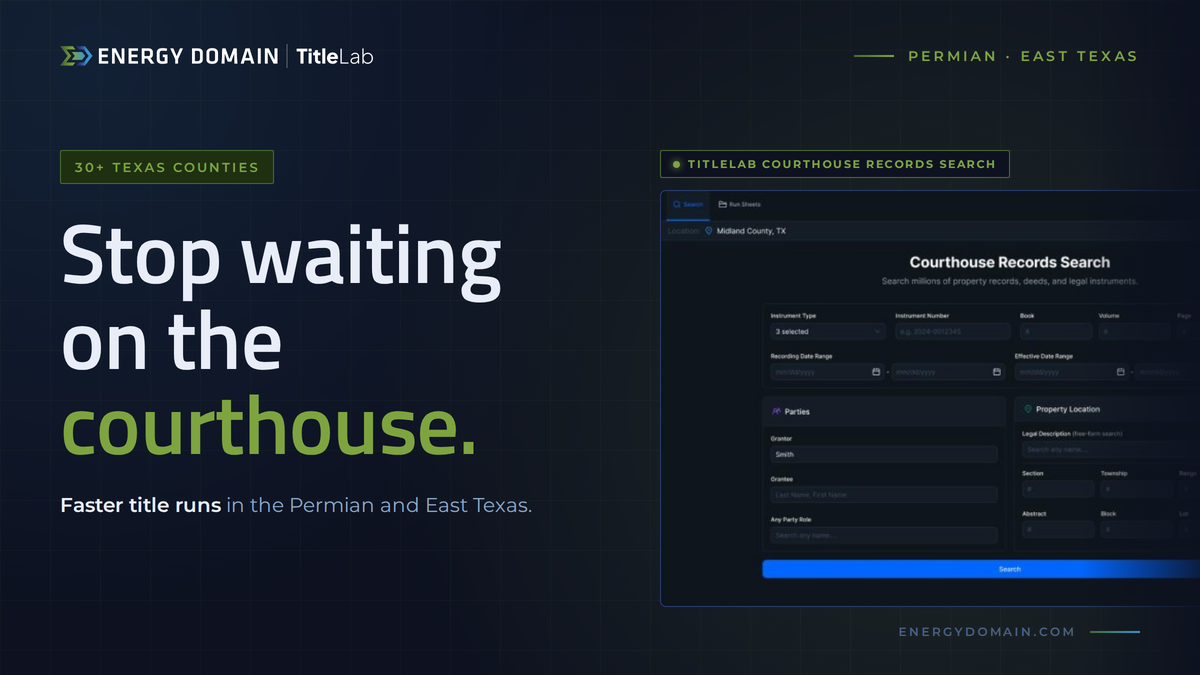
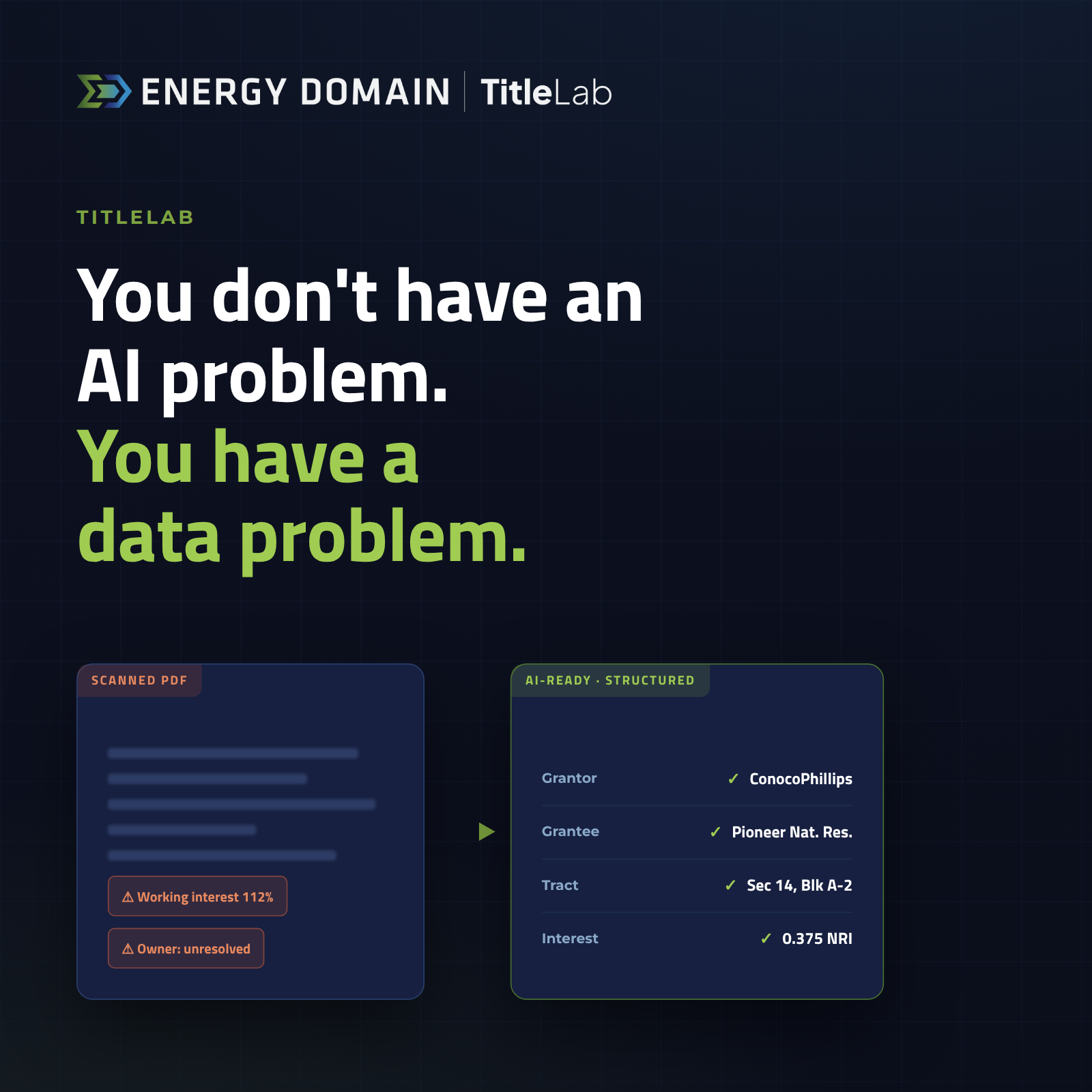
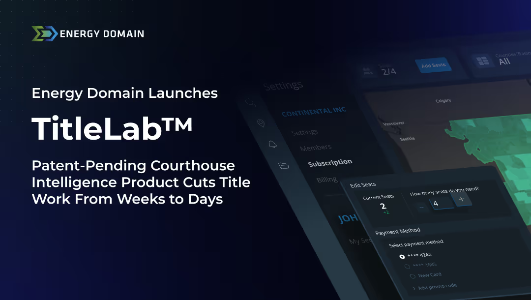
AI-powered courthouse intelligence for upstream land and mineral workflows. Automated instrument classification across 90+ document types, party extraction with grantor/grantee role context, legal description parsing for Texas surveys and abstracts, PLSS coordinates, and platted properties. Lease provision capture including royalty rates, terms, extension options, and severance clauses. Prior reference linking for automated chain-of-title construction. Well and unit integration connecting documents to API numbers, unit names, and lease names.



.png)
















© 2026 Energy Domain · Fort Worth, TX