0 Results for ""

See permits before they’re approved
The Texas Railroad Commission publishes approved permits. But 90%+ of permits go through a submitted and mapping status before approval — and those don’t appear on the RRC’s public map. Energy Domain captures submitted permits as they’re filed, giving you visibility into operator intent days or weeks before the rest of the market.
Trusted by operators, non-op buyers, mineral aggregators, and A&D advisors across the upstream market.






The Gap
When you see a permit on the Railroad Commission’s website or in most third-party data products, it’s already been approved. The operator submitted it days, sometimes weeks earlier. During that window, the permit existed in submitted or mapping status — visible in the RRC’s internal system but not on their public-facing map.
That delay matters. If you’re monitoring competitive activity, tracking development timing for mineral positions, or screening for acquisition targets based on operator behavior, you want the earliest possible signal of drilling intent.
Capturing Permits at Submission
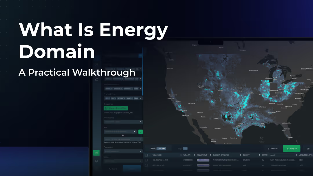
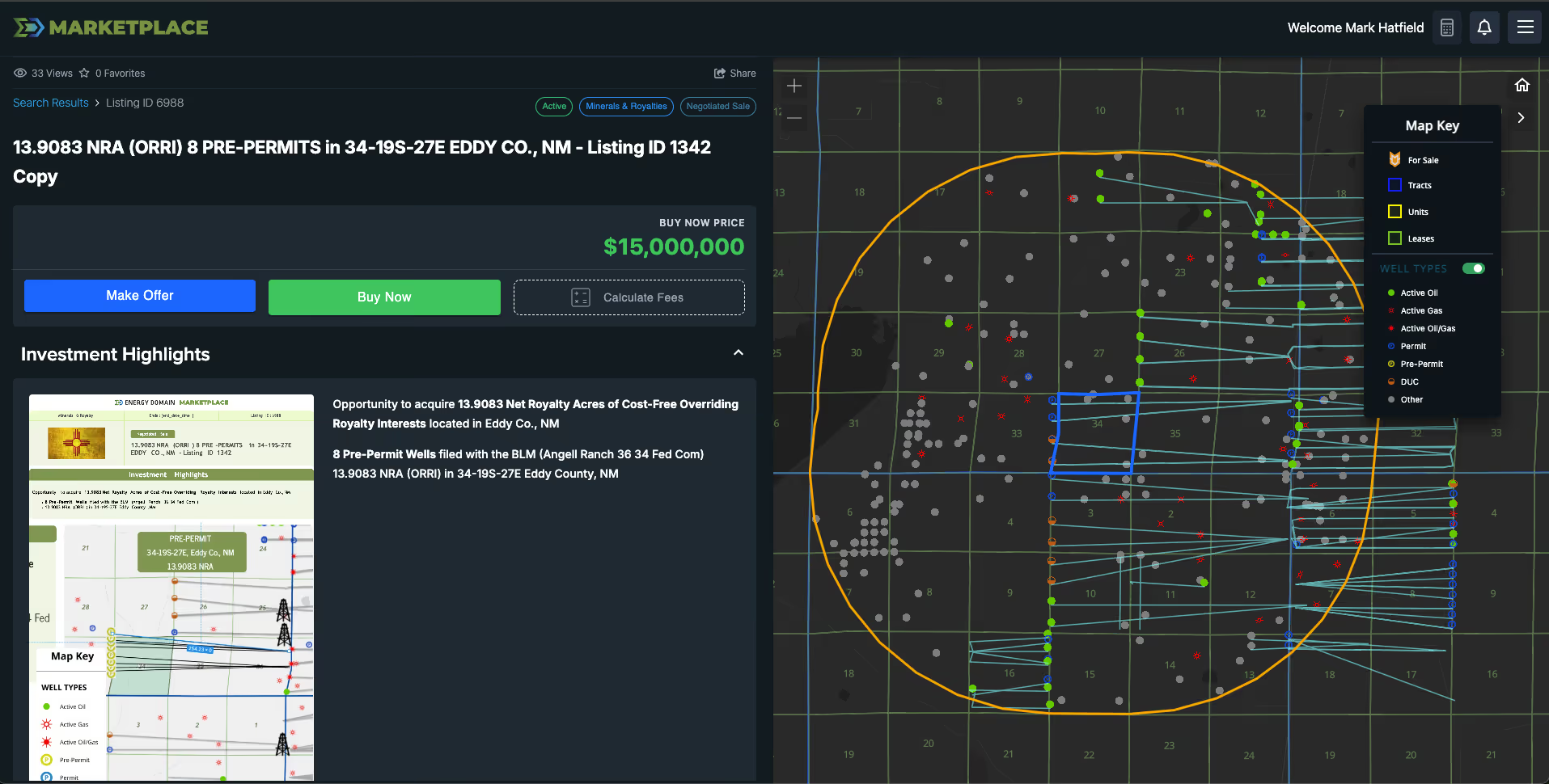
Energy Domain operates a separate scraping process that monitors the Texas Railroad Commission for permits in submitted and mapping status — before they transition to approved. These pre-permits are ingested into the Energy Domain platform and displayed on the map alongside approved permits, active wells, and rig locations.
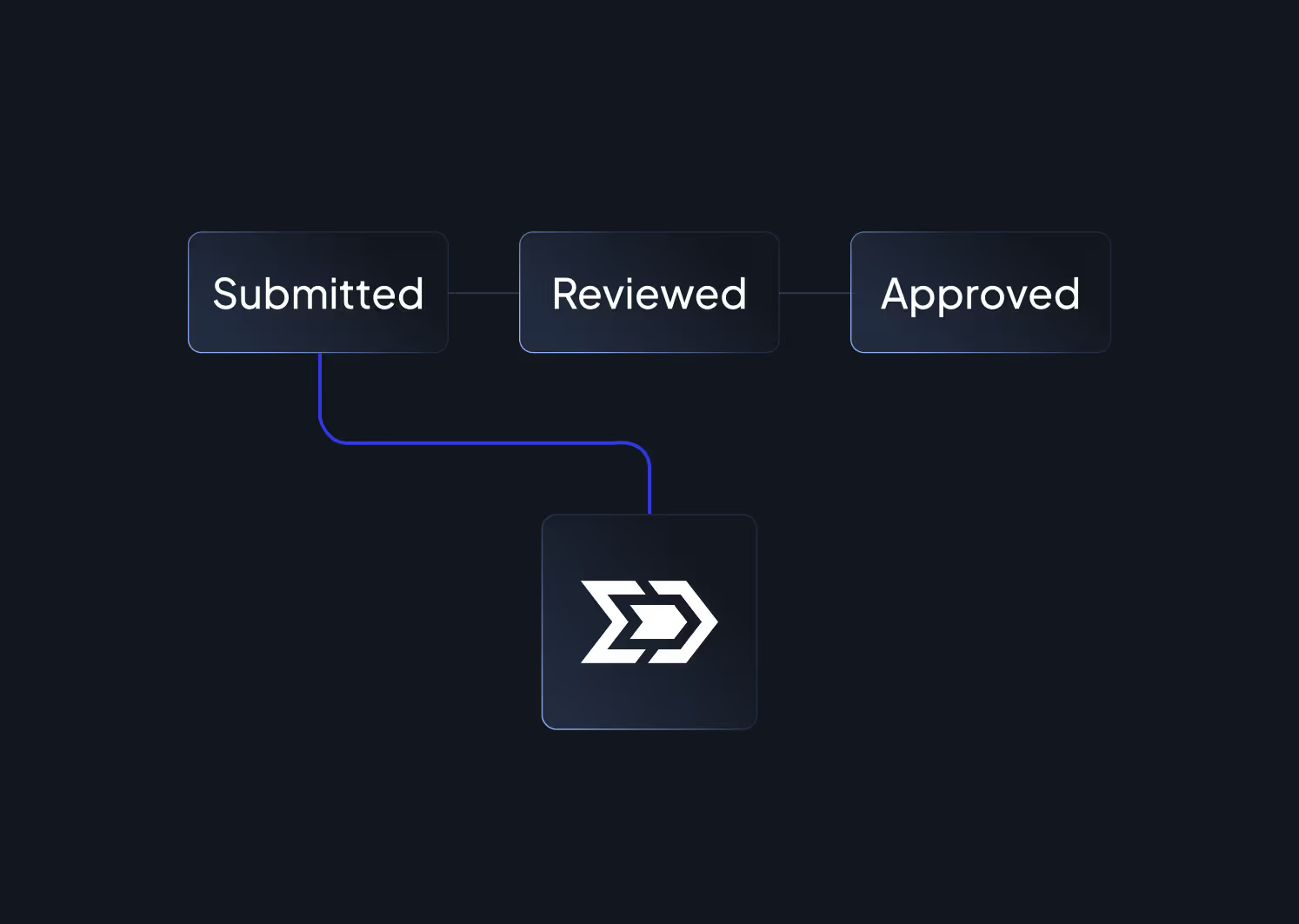
Step 1 — Permit Submitted to RRC: An operator files a drilling permit application. The permit enters “Submitted” status. Energy Domain’s scraping process captures this record and classifies it as a pre-permit.
Step 2 — Permit in Mapping / Review: The permit moves through internal RRC review and mapping stages. It is not yet visible on the Commission’s public GIS viewer or reflected in most third-party data feeds. Energy Domain continues to track its status.
Step 3 — Permit Approved: The permit is approved and appears on the RRC’s public map and in standard data products. The informational advantage window has closed.
Pre-permits trigger alerts. When new submitted permits are captured, they flow into Energy Domain’s alert system. Customers with matching areas of interest receive notifications.
Competitive Intelligence: Land teams and operators get the earliest signal of drilling intent, informing leasing strategy, offset monitoring, and competitive positioning.
Mineral Position Monitoring: Pre-permit visibility means earlier awareness of potential new wells that will affect royalty income and development timing.
Acquisition Screening: A cluster of submitted permits signals near-term development activity that affects PUD valuation and development timing assumptions.
Development Tracking: Non-op working interest holders and institutional investors can identify upcoming drilling activity before it appears in standard data feeds.

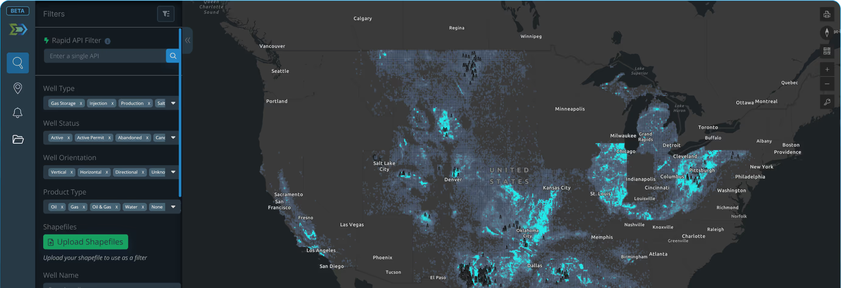
Pre-permit capture is currently available for Texas, where the RRC’s permitting workflow creates the most significant visibility gap between submission and approval. Submitted permits are ingested daily and displayed with a distinct “Pre-Permit” well status, fully integrated into the Energy Domain map and filter system.


.png)























© 2026 Energy Domain · Fort Worth, TX