0 Results for ""

Rig Activity
Daily rig position updates sourced from drilling contractors and satellite imagery.
Trusted by operators, non-op buyers, mineral aggregators, and A&D advisors across the upstream market.






Overview
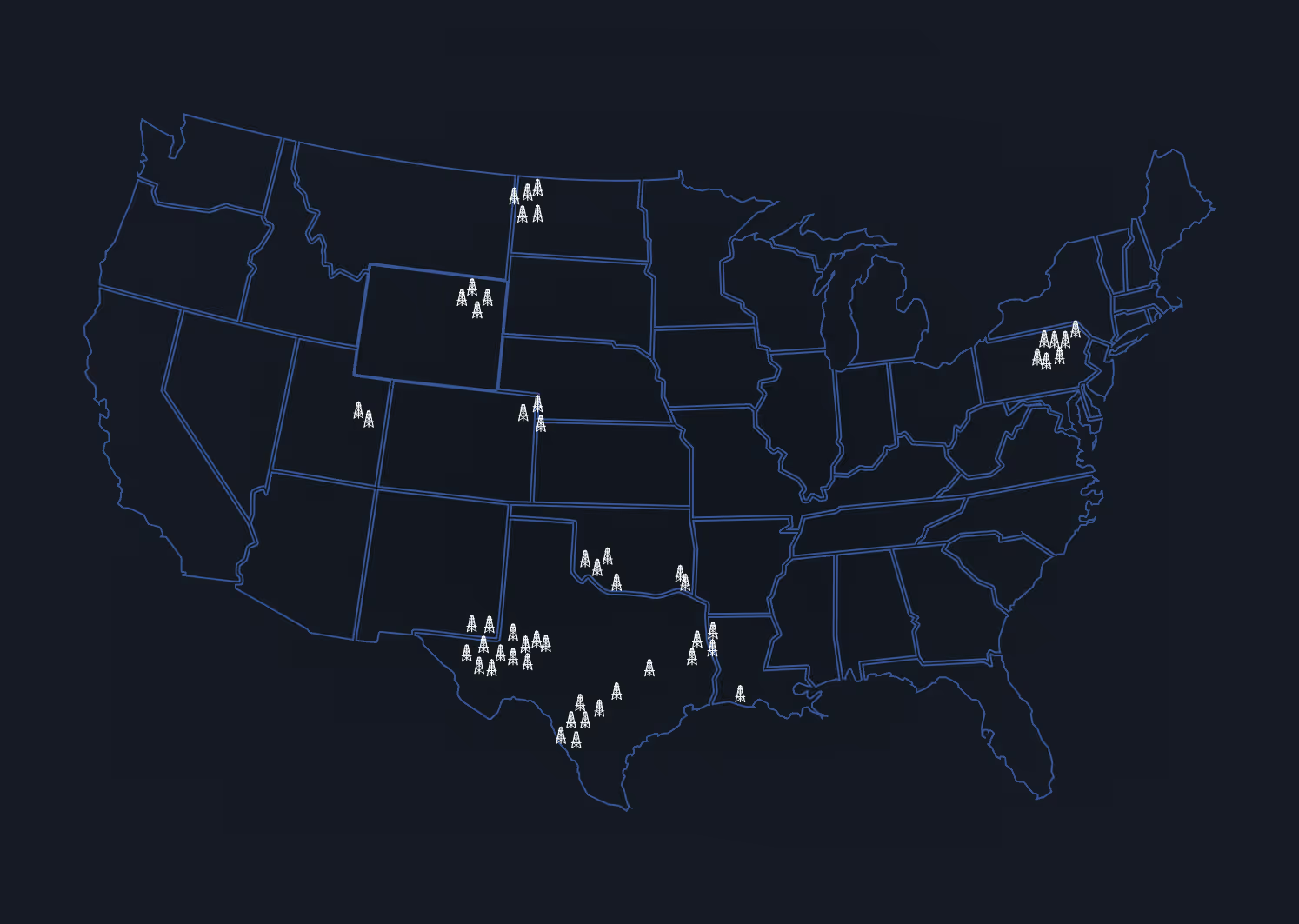
Energy Domain tracks rig locations daily across all major U.S. producing basins. Approximately 65% of rig positions come directly from drilling contractors. The remaining coverage is sourced via satellite imagery, ensuring comprehensive tracking even where contractor reporting gaps exist. Coverage hovers between 94% and 99% compared to the Baker Hughes rig count on any given day.
Rig activity data shows where capital is being deployed right now. Not where it was last month, not where a permit says it might be, but where a rig is physically sitting today.
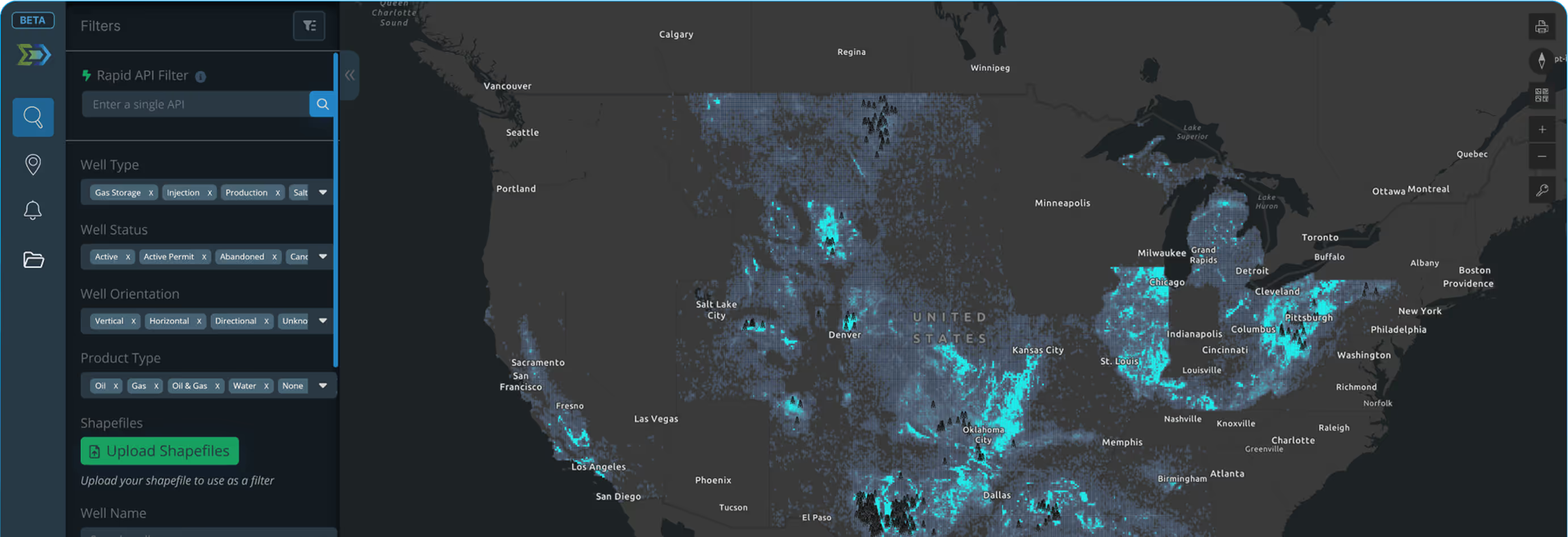
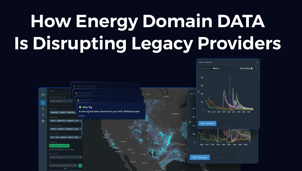
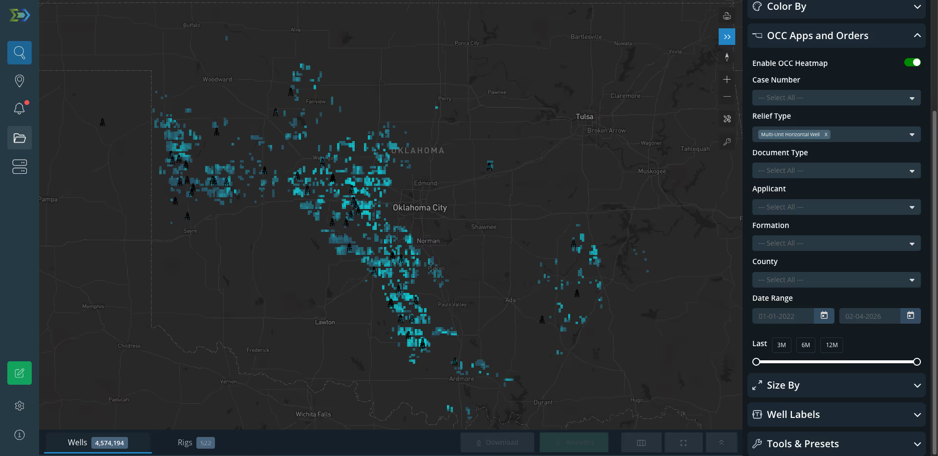
Rig locations are tied to the map alongside well headers, production data, and directional surveys. Area of Interest alerts notify you when a rig moves into your AOI, delivered in-app or via email.
Key Fields
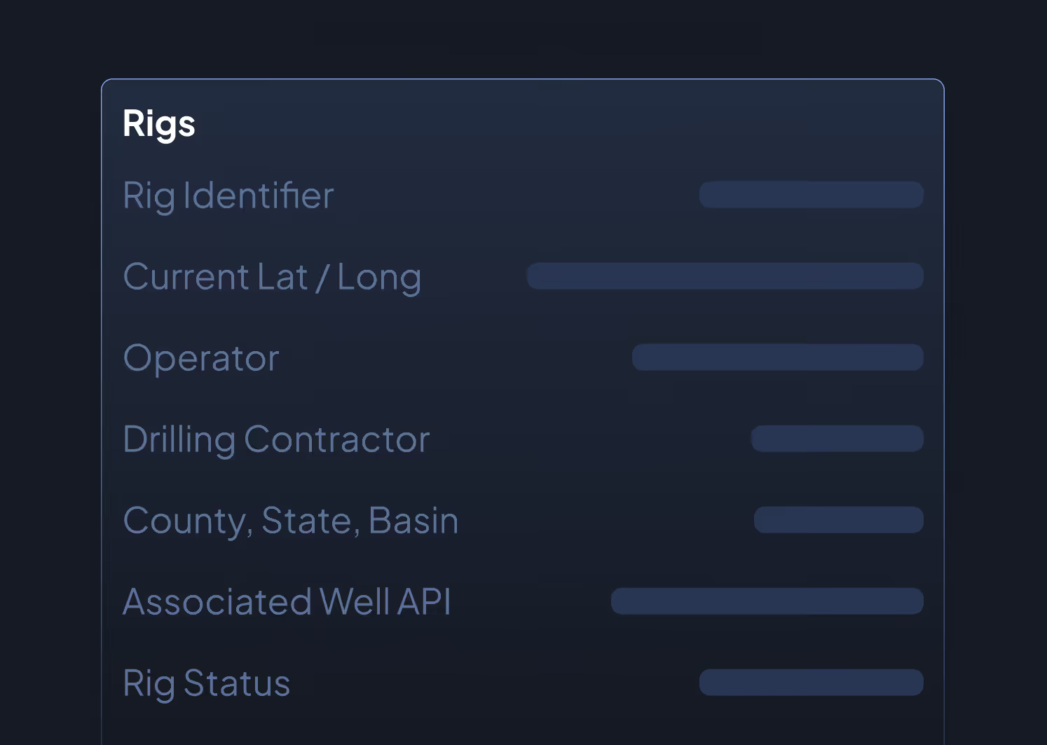
- Rig Identifier
- Current Latitude / Longitude
- Operator
- Drilling Contractor
- County, State, Basin
- Associated Well API (where identifiable)
- Rig Status (active, moving, stacked)
- Date First Observed at Location
- Last Updated Timestamp
Data Sources & Update Frequency
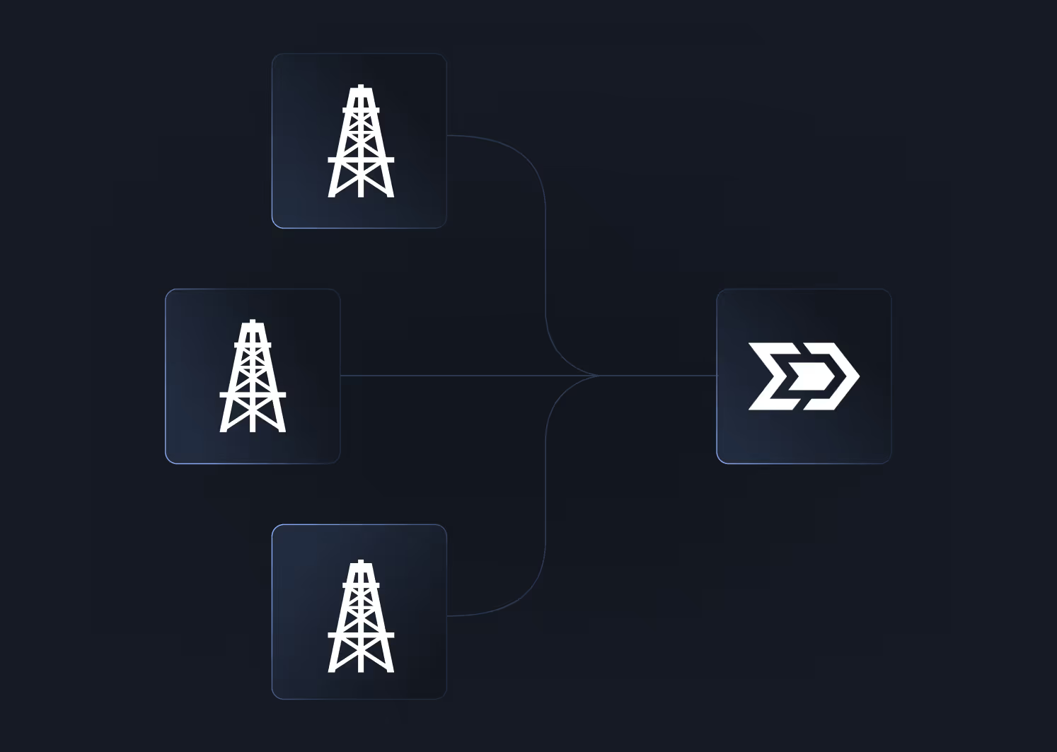
Sourced from direct drilling contractor reports (approximately 65% of positions) and satellite imagery verification. Updated daily, with some positions updating intra-day. Energy Domain acquired a dedicated rig data business to build this capability, ensuring independent sourcing.
Who Uses This
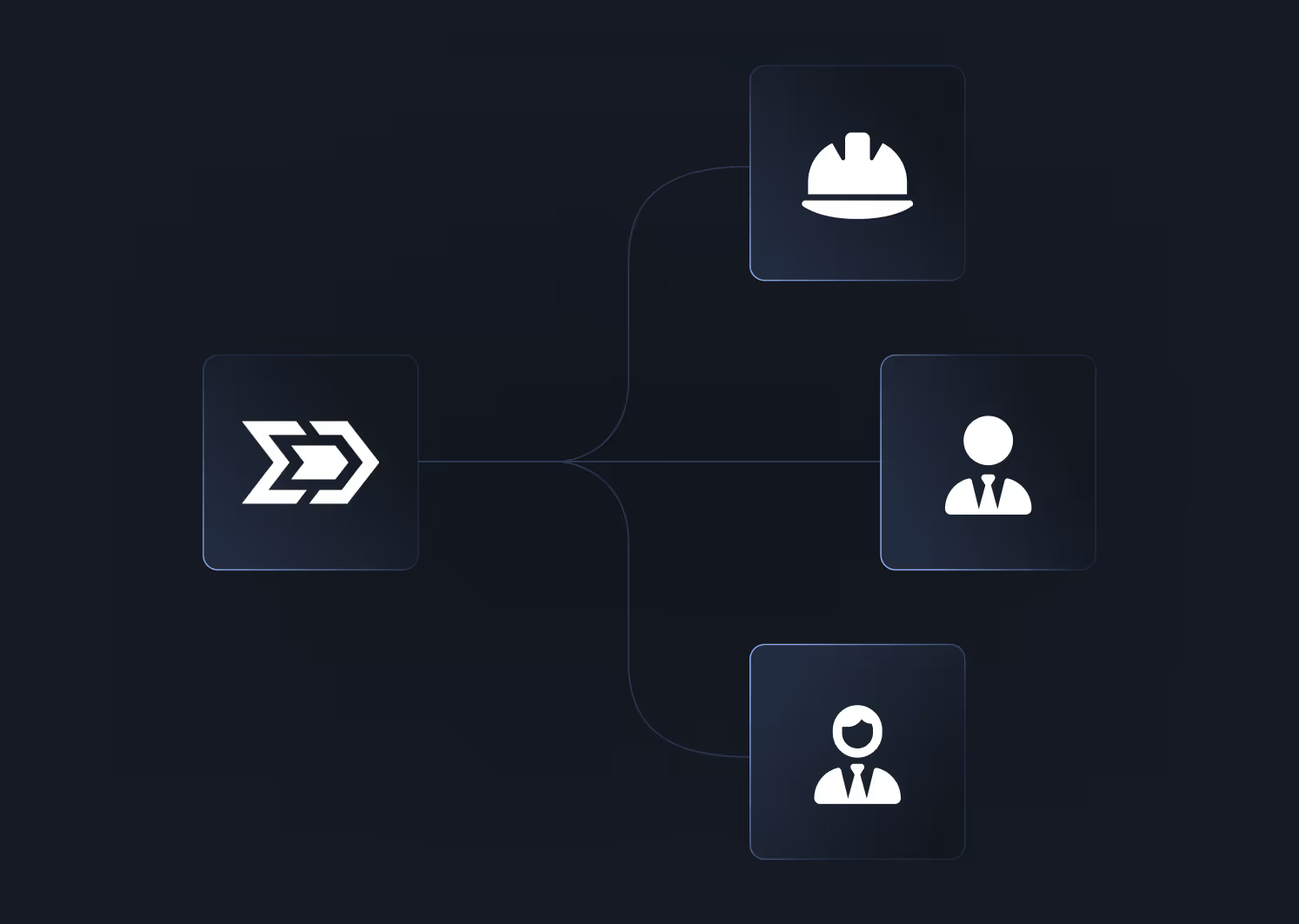
Land Teams monitor rig placements in their AOIs to identify competitive leasing activity, confirm operator development commitments, and track continuous drilling clause compliance on neighboring leases.
A&D Teams screen for development-driven acquisition opportunities. An operator ramping a program in a specific area often signals asset valuation upside for offsetting mineral and royalty positions.
Non-Op Investors track rig activity against their working interest and mineral positions to anticipate near-term production additions and upcoming AFE obligations.
Business Development Teams prospect for service company partnerships, identify active drilling programs for outbound sales, and track market-level activity trends.
Why It Matters
Rig activity is the leading indicator of upstream capital deployment. By the time a well shows up in production data, the capital decision was made months ago. Rig data shows which operators are accelerating programs, which basins are seeing increased activity, and where the next production additions will come from. Daily tracking from contractor reports and satellite imagery gives you coverage you can act on, not a monthly summary you react to.


.png)














© 2026 Energy Domain · Fort Worth, TX