0 Results for ""

Full lateral path visibility
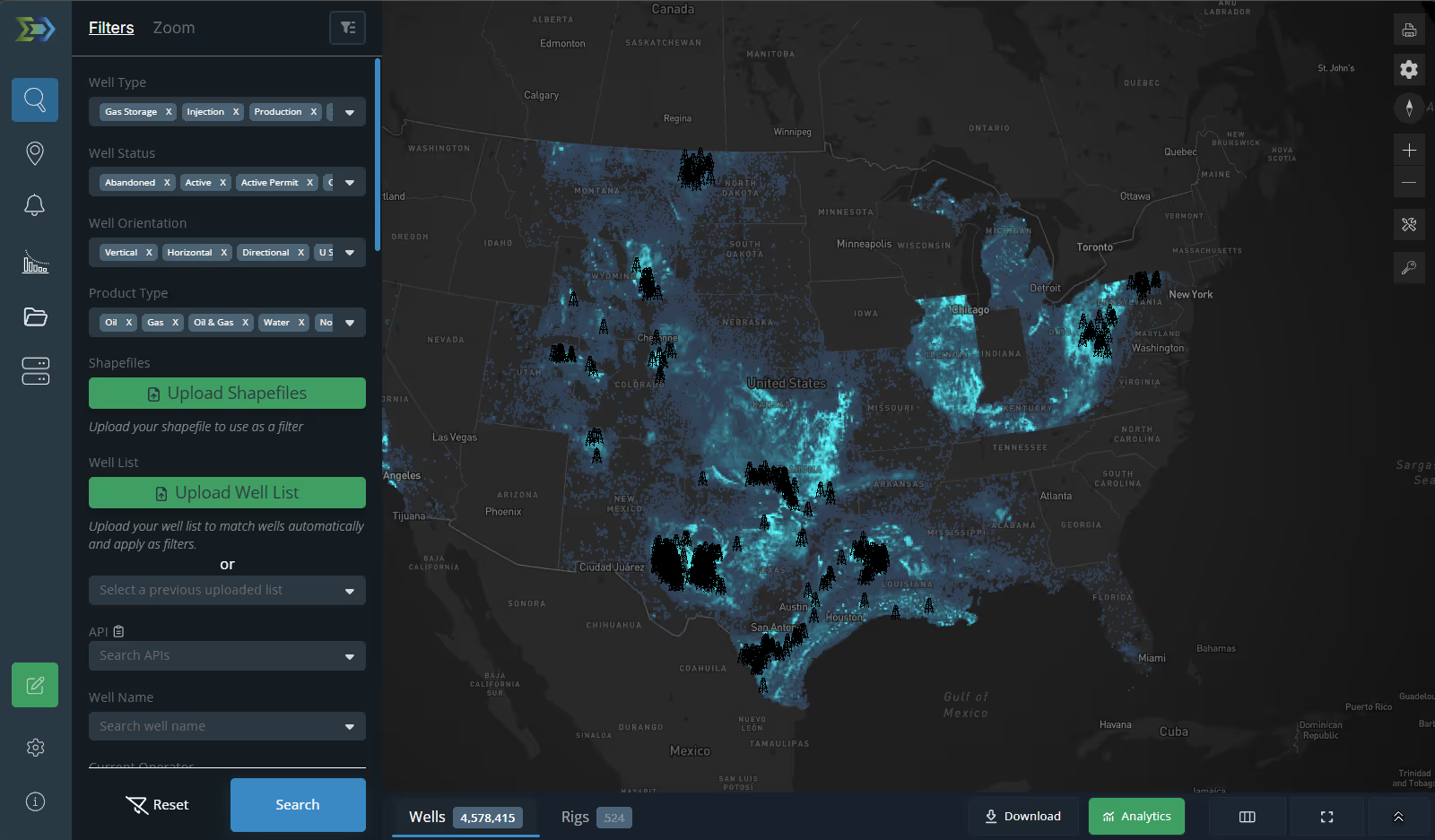
Energy Domain processes and delivers three-dimensional directional survey data for all horizontal wells — measured depth, inclination, azimuth, and survey station measurements. This data powers the platform’s map visualization, Confirmed Interval identification, lateral length calculations, and subsurface analysis.
Trusted by operators, non-op buyers, mineral aggregators, and A&D advisors across the upstream market.






What Directional Surveys Contain
Every horizontal well in Energy Domain carries a directional survey record that defines the complete wellbore path from surface to total depth. These are true three-dimensional surveys — not surface-only locations — enabling accurate representation of where the lateral actually traveled through the subsurface.

Measured Depth (MD): The distance along the wellbore from surface to the survey point.
Inclination: The angle of the wellbore from vertical at each survey station.
Azimuth: The compass direction of the wellbore at each survey station.
Survey Stations: Discrete measurement points along the wellbore defining the complete 3D trajectory.
Survey data is sourced from state regulatory filings and processed through a combination of automated extraction and quality validation. The processed surveys are stored as 3D paths and rendered on the Energy Domain map.
What Directional Surveys Power
Directional survey data is the foundation for several proprietary derived datasets.
Confirmed Interval: The 3D survey path is intersected with formation structure maps to programmatically identify the primary landing zone for each horizontal well.
Lateral Length Calculations: Industry-standard lateral length calculated directly from the directional survey — measuring the horizontal displacement of the producing section.
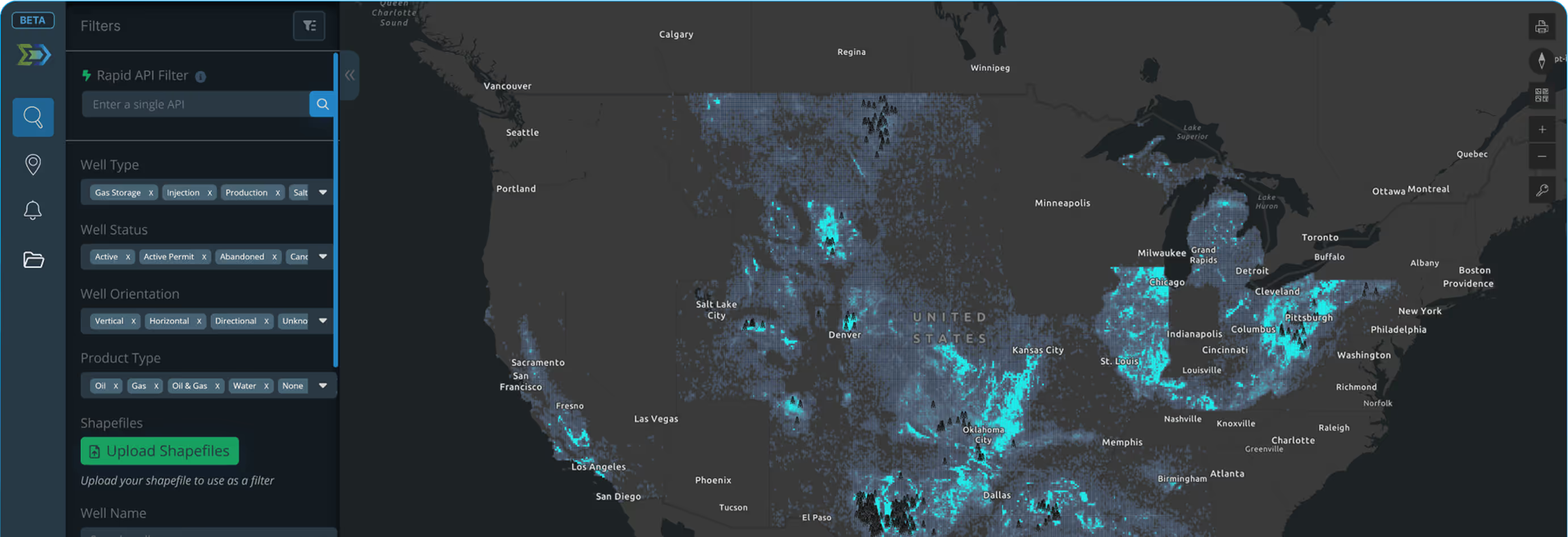
Map Visualization: Directional surveys rendered on the map as 3D lateral paths. Users can visualize well trajectories, identify spacing relationships, and evaluate lateral overlap.
Well Spacing (In Progress): Directional survey paths enable left/right neighbor detection with full, partial, or unbounded spacing classification for every horizontal well.


Reservoir Engineers: Evaluate offset well trajectories, confirm landing zones, assess lateral overlap, and build accurate subsurface models.
Completion Engineers: Understand the relationship between lateral path, landing zone, and completion design.
A&D Teams: Validate development claims, assess remaining inventory, and confirm well placement on assets under evaluation.
Development Planning: Plan new wells with full visibility into existing subsurface geometry. Identify collision risks and optimize lateral placement.
All horizontal wells. Three-dimensional paths. Fully integrated. Directional survey data is included with your Energy Domain subscription — not an add-on.


.png)





















© 2026 Energy Domain · Fort Worth, TX