0 Results for ""

Know exactly where every well landed
Confirmed Interval is Energy Domain’s proprietary identification of each horizontal well’s primary landing zone — the dominant producing interval determined by programmatically intersecting three-dimensional directional survey data with comprehensive subsurface tops and formation maps.
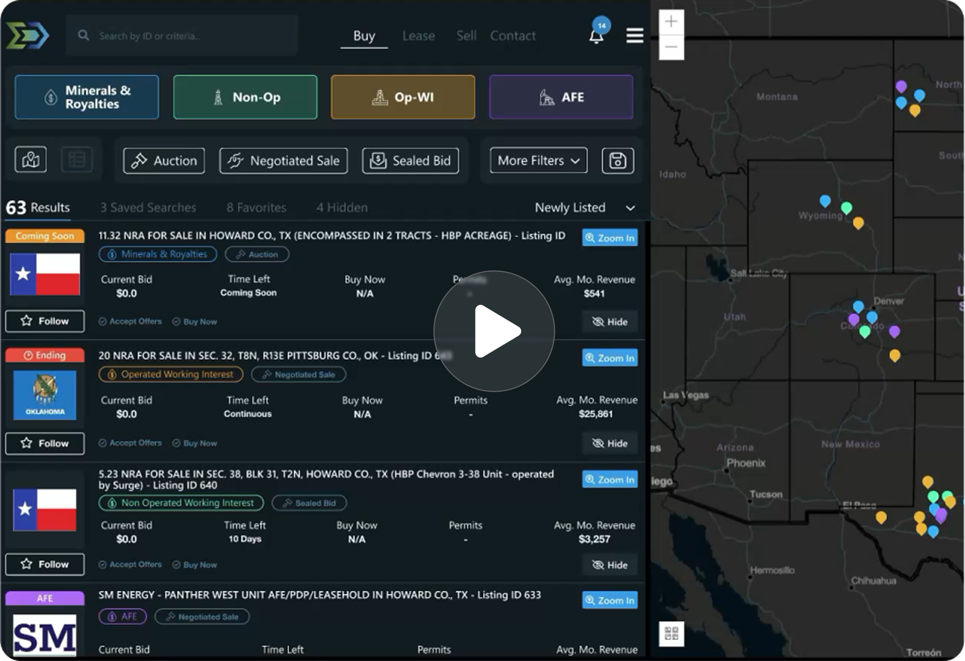
Trusted by operators, non-op buyers, mineral aggregators, and A&D advisors across the upstream market.






The Challenge
State agencies report reservoir or target formation data, but the quality and granularity varies widely. A well might be classified broadly as “Wolfcamp” when an engineer needs to know whether it’s Wolfcamp A, B, C, or D. State records often use different naming conventions, abbreviations, and classification schemes that make direct comparison unreliable.
Operators evaluating offset well performance, engineers building type curves by landing zone, and acquirers comparing completion results need micro-reservoir-level precision.
Three-Dimensional Survey Meets Subsurface Structure
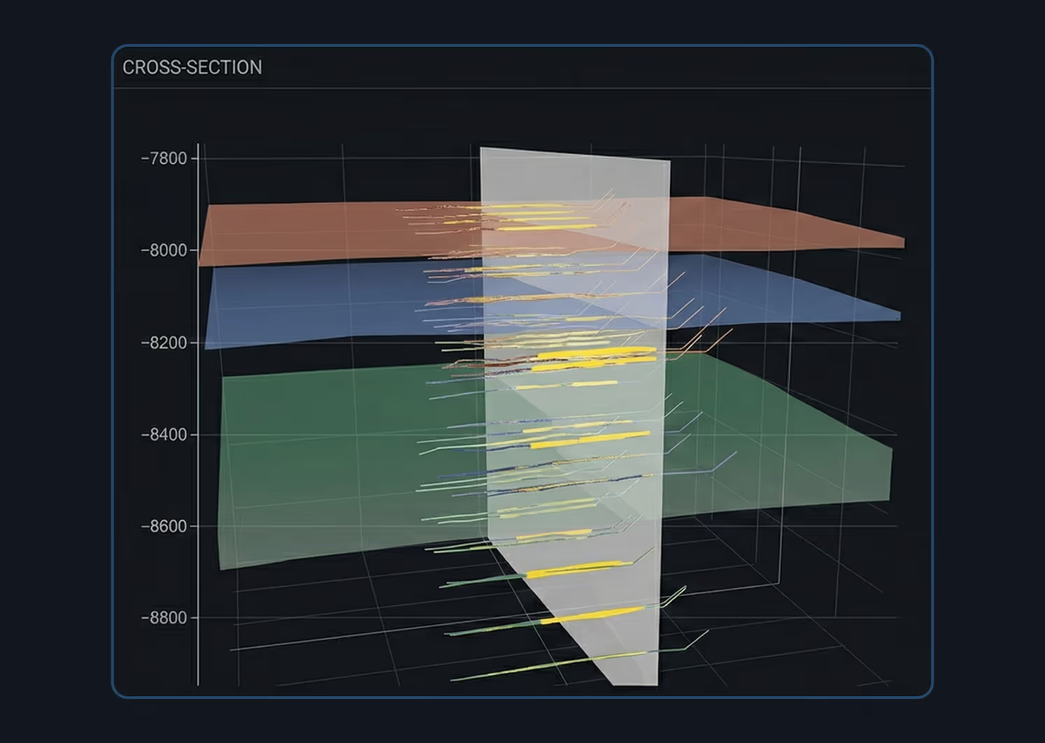
Step 1 — Three-Dimensional Directional Surveys: Energy Domain carries full directional survey data for all horizontal wells — measured depth, inclination, azimuth, and survey station measurements. These are true 3D surveys that define each well’s complete lateral path through the subsurface.
Step 2 — Comprehensive Tops and Z-Map Data: Energy Domain acquired a comprehensive tops and formation structure dataset (Z-maps) that provides subsurface formation boundaries across major producing basins. This defines where formations sit at specific geographic coordinates.
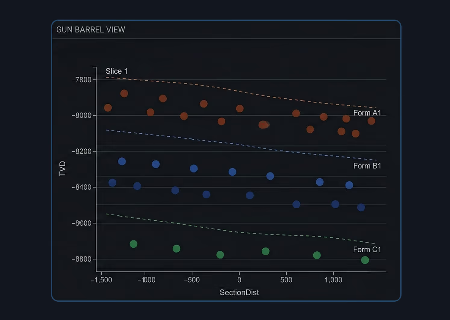
Step 3 — Programmatic Interval Identification: The directional survey path is intersected with the formation structure maps to determine which interval(s) the horizontal lateral penetrates. The Confirmed Interval represents the primary landing zone — the dominant interval where 51%+ of the well’s producing section resides.
Micro-Reservoir-Level Precision
In the Permian Basin, this means distinguishing between Wolfcamp A, B, C, D, Lower and Upper Spraberry, and individual Bone Spring intervals. Energy Domain delivers three levels of reservoir classification:
Normalized Reservoir: Standardized formation names for broad comparison. Resolves naming inconsistencies across operators and states.
Raw State Reservoir: The exact reservoir designation as reported by the operator to the state regulatory agency. Delivered without modification.
Confirmed Interval: Proprietary, survey-derived landing zone identification at the micro-reservoir level. Determined programmatically from the intersection of 3D survey paths and formation structure maps.
Type Curve Analysis: Meaningful type curves require like-for-like comparisons. Confirmed Interval ensures your type curve groups compare wells that actually landed in the same zone.
Offset Well Evaluation: Isolate offset performance by exact landing zone rather than relying on operator-reported targets that may be inaccurate or inconsistent.
Development Planning: Understand which intervals have been tested, which are producing, and where remaining inventory exists for stacked pay and infill opportunities.
Well Spacing Analysis: Spacing decisions depend on understanding not just lateral proximity but vertical separation. Confirmed Interval provides the vertical dimension.


.png)























© 2026 Energy Domain · Fort Worth, TX